
Along with roughly 350 others, I was invited to represent ISPRS at the 14th session of the UN Committee of Experts on Global Geospatial Information Management, held at UN headquarters in New York on 7-9 August. UN-GGIM was established by The United Nations Economic and Social Council (ECOSOC) in 2011. It reports into the UN Statistics Division (UNSD), which provides the necessary management and statistical support. Although there is a mountain of documents and the reports are in the public domain, and I did know that one of the achievements of UN-GGIM that has certainly enjoyed traction is the Integrated Geospatial Information Framework (IGIF), I failed properly to understand what UN-GGIM did until I actually participated in a meeting. It was striking. There were 238 delegates from 75 member nations in attendance, plus 108 observers from 128 observer organizations. I was seated between Dr. Harald Schuh, representing IUGG (interestingly, Harald’s early education was in photogrammetry at the University of Bonn, but he defected to geodesy), and Dr. Diane Dumashie, president of FIG. There were observers from the private sector and from the academic world. I spoke to Dieter Fritsch, who was wearing two hats – Hexagon and the University of Stuttgart. Most of the national delegations consisted of high-level government employees. For example, the French delegation was led by my friend Dr. Nicolas Paparoditis, who is second-in-command at IGN as well as vice president of ISPRS. The US delegation was led by Deirdre Dalpiaz Bishop, Chief, Geography Division, US Census Bureau, who was elected co-chair of UN-GGIM. The UK delegation was led by David Henderson, Chief Geospatial Officer, Ordnance Survey, a renowned alumnus of the University of Glasgow!
My seat for the session. Observer Marcos Martinez-Fernandez, Secretary-General of EAASI, back left.
During the two days before the main program, there were various “side events”, which were a little less formal, but were important, for example for a on the integration of terrestrial, maritime and cadastral domains and on integrated geospatial information management.
Like the UN itself, UN-GGIM cannot mandate anything. Almost all of the business consisted of reports being brought to the committee. Each report was described by an “introducer”. Then the participants were invited to provide “interventions”, or short speeches, almost all of which complemented the report and its authors. The agendum was closed by a summary from a UNSD staffer. This sounds boring, but it wasn’t. There are two points. These reports provide advice on various topics – marine data is an example – and the plan is that national delegations should go back to their countries and try to persuade government there to adopt them. The reports are prepared – and this is the real work of UN-GGIM – by a number of committees. There are five regional UN-GGIMs. There are three centers of excellence, in Germany, China and Saudi Arabia- the one in Bonn, led by Australian geodesist Nicholas Brown, made extensive inputs on the robustness of the global geodetic supply chain. It became clear that the concerns of small, emerging island nations are especially critical, given not only their economic parlousness (in some cases), but their extreme vulnerability to rising sea level.
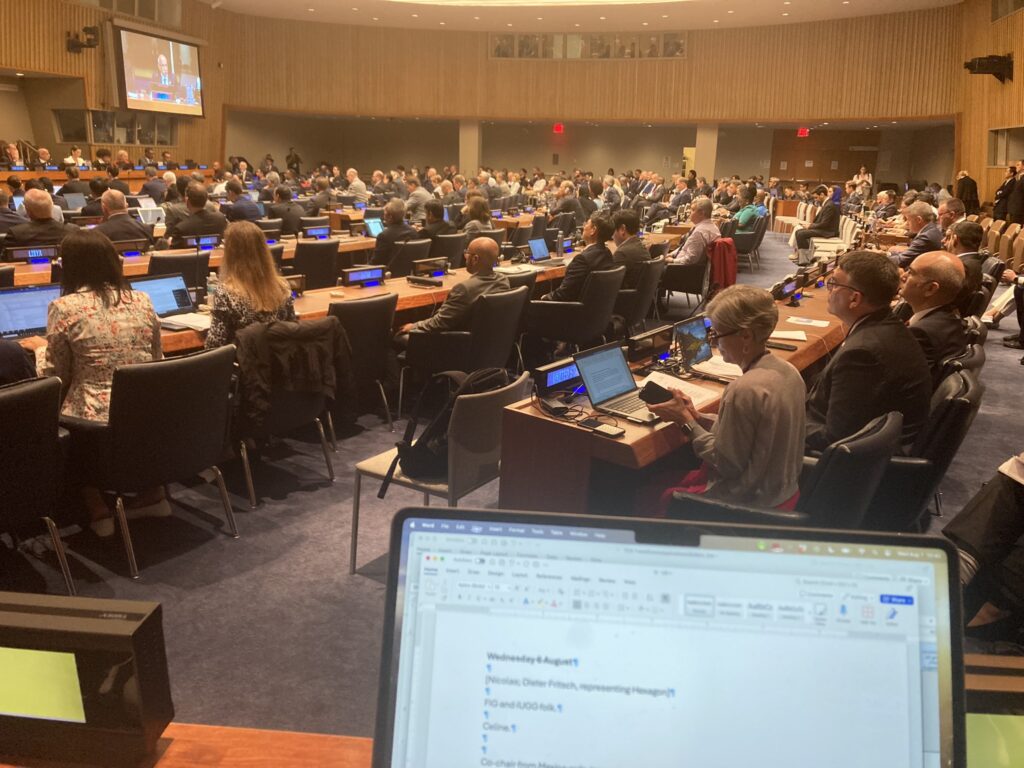
Session proceedings were delivered to 238 delegates from 75 member nations in attendance, plus 108 observers from 128 observer organizations.
There are numerous other parts of the jigsaw too complex to explain here. But important to me is the Thematic Networks, one of which is called the UN-GGIM Geospatial Societies, a coalition of the Presidents, Secretaries-General or alternates who lead recognized international organizations involved in the coordination, development, management, standardization or regulation of geospatial information and related matters. ISPRS is part of this. Now I understand a little bit of how UN-GGIM works, I will try to master the structure nomenclature and procedures, then figure out how ISPRS can become more involved. Of course, I need also to examine where lidar figures in the business of the Committee and what more needs to be done!
It was incredible working inside the UN HQ, which I had previously visited only as a tourist. It was possible to meet all sorts of people in the café, not just UN-GGIM folk. I had lunch with a General Assembly delegate from Cameroon. Coming closer to LIDAR Magazine, I also had lunch with Marcos Martinez-Fernandez, Secretary-General of EAASI (which has an observer seat at UN-GGIM). EAASI one of the contributors to our magazine with a series of articles entitled, “Elevations for the Nations”.


