
SimActive, a developer of photogrammetry software, announces the use of its lidar point cloud colorization capabilities by users of multi-sensor systems developed by LiDARUSA
SimActive’s Correlator3D software allows to profit from imagery and lidar data in a complimentary fashion.
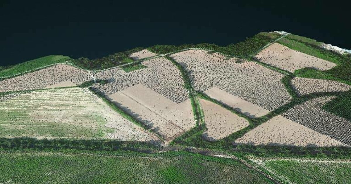
Lidar point clouds are first imported in Correlator3D, to which the collected imagery is automatically registered. The lidar data are used as control for the registration process. Each lidar point is then colorized using the images.
“While lidar is great, everyone understands imagery. Colorizing lidar makes the data much more understandable”, said Jeff Fagerman, CEO at LiDARUSA. “Correlator3D allows our clients to easily colorize lidar point clouds from their multi-camera system.”
www.simactive.com
Read More:
Laser Scanning
DEM/DTM/DSM
Forestry
Subscribe to our newsletter
Stay updated on the latest technology, innovation product arrivals and exciting offers to your inbox.
Newsletter
This article was published by: ericvanrees@geoconnexion.com (Eric Van Rees)
Visit the original article here


