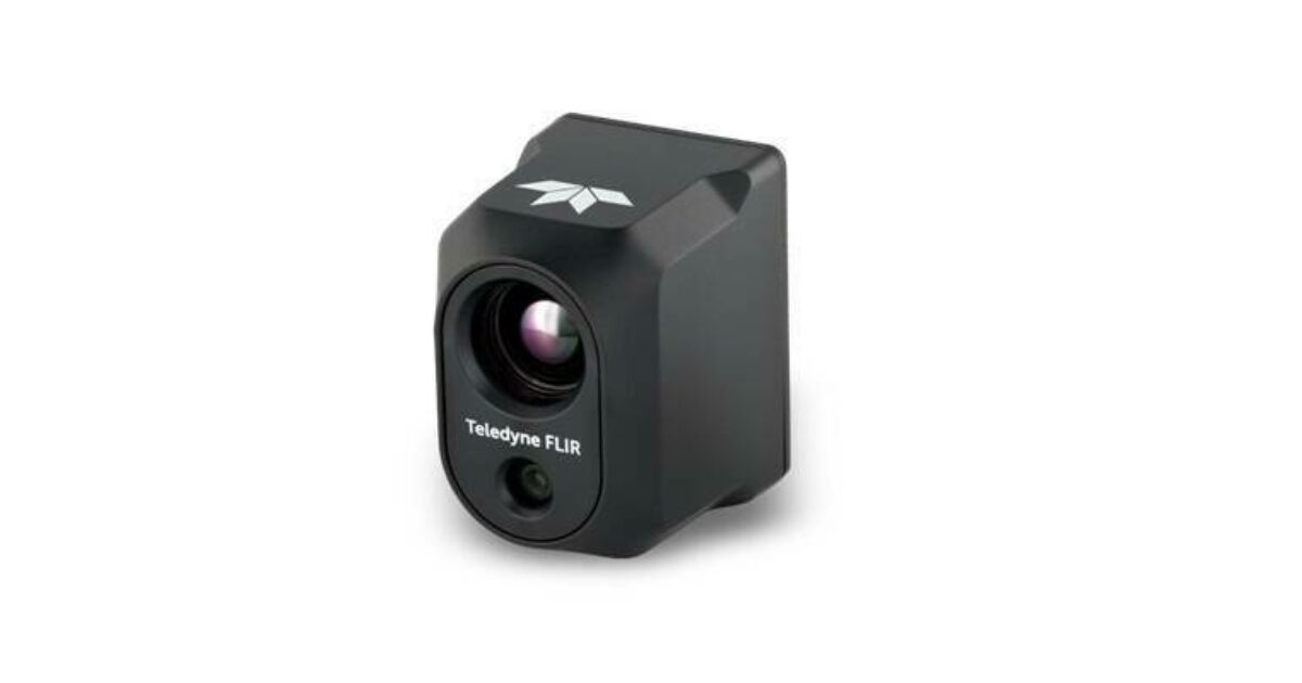
Teledyne FLIR Selected as Thermal Camera Provider for the Red Cat Drone Black Widow U.S. Army SRR Program Award
Reading Time: < 1 minuteIntegration of Prism Embedded Software and Hadron 640R+ Payload to Provide Cutting-Edge Thermal Sensing and

Reading Time: < 1 minuteIntegration of Prism Embedded Software and Hadron 640R+ Payload to Provide Cutting-Edge Thermal Sensing and

Reading Time: 2 minutesEsri UK has won Vendor of the Year in the prestigious UK IT Industry Awards

Reading Time: 2 minutesPicterra, a leading provider of GeoAI solutions, has introduced a new all-in-one platform for plot

Reading Time: 3 minutesPlowman Craven, a well-established leader among international surveying firms, has officially entered the Australian market

Reading Time: 2 minutesCarbonix, a prominent Australian provider of long-range UAV platform solutions, has announced that its Volanti

Reading Time: 2 minutesThe organizers of Geo Week, a globally recognized event bridging geospatial technologies and the built

Reading Time: 2 minutesExpert panelists discuss how the use of geospatial technology is used to make real-time decisions.

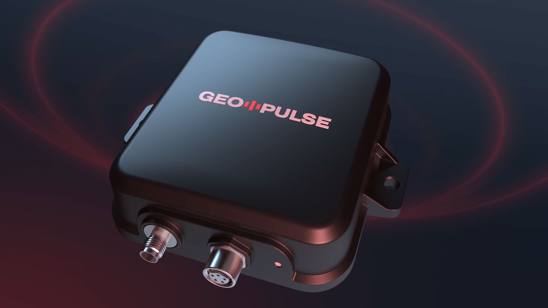
Reading Time: 2 minutesSingapore, November 20, 2024–The GEODNET Foundation is revolutionizing car navigation with the launch of GEO-PULSE,

Reading Time: < 1 minuteThe North’s new event for digital construction debuts with resounding success, welcoming nearly 1,000 attendees

Reading Time: 2 minutesAvior Geospatial is enhancing its technological capabilities by adding a RIEGL VQ-1560 II-S airborne laser