AllTerra Central, Inc. the world’s #1 Trimble geospatial dealer, has joined the distribution network of GeoCue. AllTerra will now provide the full line of TrueView 3D Imaging Sensors, an innovative UAV LiDAR and photogrammetry solution. It allows for fast, automated generation of true 3D colorized point clouds, oblique imagery, and orthophotos from a single UAV flight.
GeoCue’s Kris Kelley had this to say about AllTerra:
“We couldn’t be happier having AllTerra Central as part of our GeoCue team and we already know they will be successful. AllTerra has been supporting the Southwestern United States as a reputable Trimble dealer for decades. Having them sign on with GeoCue to expand their menu and build up the marketplace with new payload options/geospatial software is a solid sign of faith in our company, as well as initiative for development and growth on both ends.”
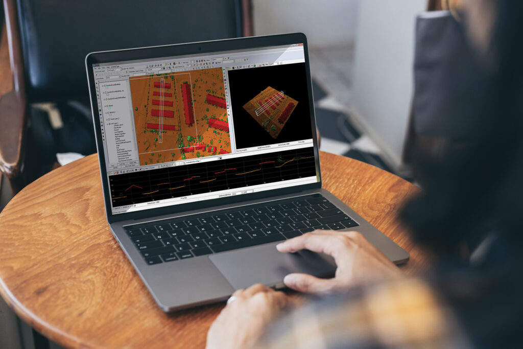
AllTerra is also authorized to sell LP360 LiDAR & photogrammetry 3D point cloud software. LP360, an advanced desktop LIDAR software package, makes easy work of extracting information and generating deliverables in an intuitive GIS environment.
AllTerra Central is committed to providing geospatial solutions that fit all the needs of the modern surveyor. Part of that mission is being up to date on the latest technologies. In GeoCue, AllTerra Central has a partner with a solid track record of providing reliable hardware and software for UAV LiDAR and imagery.
AllTerra’s Technology Sales Manager, Chris Mauldin said, “We are excited to add GeoCue to our geospatial portfolio. AllTerra Central prides itself on our ability to, not only offer the greatest in technology products, but to support them as well. We believe that by staying on top of technology products, we can help our customers become more efficient and grow their business.”
About AllTerra
![]() AllTerra Central has offices throughout Texas, Oklahoma, New Mexico, and Arizona. AllTerra Central offers Trimble and Spectra Precision solutions in Surveying, MGIS, Marine, Forensics, Mobile Mapping and Infrastructure and provide sales, rentals, repairs, and support for these products. Additionally, they offer mobile/airborne LIDAR and Photogrammetry solutions from GeoCue and Microdrones. If you’re interested in UAV LiDAR, photogrammetry, and/or geospatial data processing software, please follow this link for more information.
AllTerra Central has offices throughout Texas, Oklahoma, New Mexico, and Arizona. AllTerra Central offers Trimble and Spectra Precision solutions in Surveying, MGIS, Marine, Forensics, Mobile Mapping and Infrastructure and provide sales, rentals, repairs, and support for these products. Additionally, they offer mobile/airborne LIDAR and Photogrammetry solutions from GeoCue and Microdrones. If you’re interested in UAV LiDAR, photogrammetry, and/or geospatial data processing software, please follow this link for more information.


