Geo Week Announces Keynote – Dallas Fort Worth Airport’s Digital Evolution

Reading Time: 2 minutesExpert panelists discuss how the use of geospatial technology is used to make real-time decisions. Denver, CO, USA – November 20, 2024 – Organizers of Geo Week, the leading event uniting geospatial technologies with the built environment, has unveiled its highly anticipated opening keynote: Dallas Fort Worth Airport’s Digital Evolution. This keynote will headline the […]
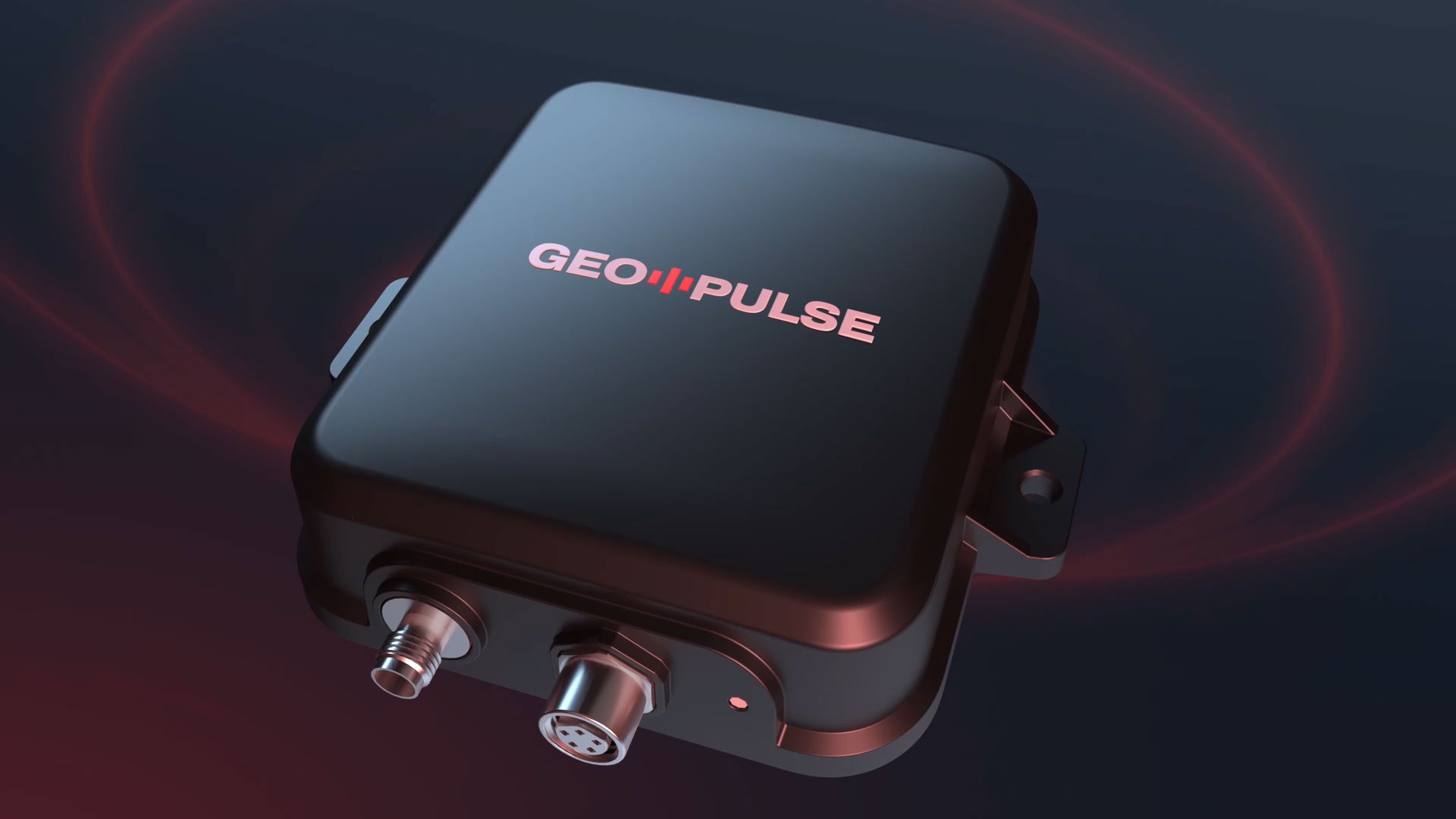
The World’s Most Accurate Car GPS Navigation Device

Reading Time: 2 minutesSingapore, November 20, 2024–The GEODNET Foundation is revolutionizing car navigation with the launch of GEO-PULSE, a groundbreaking GPS device designed to deliver unprecedented positioning accuracy. Leveraging GEODNET, the world’s largest RTK network, GEO-PULSE combines cutting-edge sensor fusion technology with an accessible price point, ensuring every driver can enjoy precision navigation. With 1.4 billion vehicles worldwide, […]
Digital Construction North launches to rave reviews

Reading Time: < 1 minuteThe North’s new event for digital construction debuts with resounding success, welcoming nearly 1,000 attendees to Manchester Central. The North’s built environment community flocked to Manchester Central last week on Wednesday 13 November for the first-ever edition of Digital Construction North. The new event has been hailed as a huge success, attracting 950 attendees from […]
Avior Geospatial Enhances Capabilities with the Addition of A RIEGL VQ-1560 II-S

Reading Time: 2 minutesAvior Geospatial is enhancing its technological capabilities by adding a RIEGL VQ-1560 II-S airborne laser scanning system to their product portfolio. A leading provider of geospatial, mapping and surveying services, Avior leverages cutting-edge LiDAR and imaging technology to deliver high-quality, value-driven solutions with a focus on integrity, precision, and efficiency. The acquisition of this new […]
Avior Geospatial Enhances Capabilities with the Addition of a Riegl VQ-1560 II-S

Reading Time: 2 minutesAvior Geospatial enhances Avior Geospatial Enhances Capabilities with the Addition of a Riegl VQ-1560 II-S Johannes Riegl, Jr. – President of Riegl USASusan Licari – Vice President of Riegl USAOlga Kadatskiy – President of Avior GeospatialVladimir Kadatskiy – Vice President of Avior GeospatialPavel Kryuchko – Data Analyst at Avior Geospatial Avior Geospatial is enhancing its technological […]
Mapbox Documentation Named “Best Unified Enterprise Developer Portal” at 2024 DevPortal Awards

Reading Time: 3 minutesSAN FRANCISCO — Mapbox, a leading location data platform powering navigation, maps and location search for millions worldwide, has been honored with the “Best Unified Enterprise Developer Portal” award at the 2024 DevPortal Awards. This prestigious award celebrates the excellence of Mapbox in delivering a comprehensive and developer-friendly experience through its Mapbox Documentation website. Mapbox has been […]
Avior Geospatial Enhances Capabilities with Addition of RIEGL VQ-1560 II-S

Reading Time: 2 minutesAvior Geospatial is enhancing its technological capabilities by adding a RIEGL VQ-1560 II-S airborne laser scanning system to their product portfolio. A leading provider of geospatial, mapping and surveying services, Avior leverages cutting-edge LiDAR and imaging technology to deliver high-quality, value-driven solutions with a focus on integrity, precision, and efficiency. The acquisition of this new RIEGL airborne system marks a […]