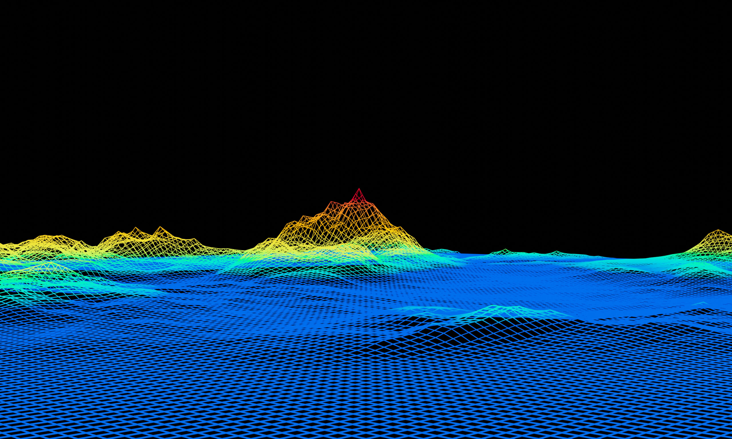
Satellite Mapping Of The Earth: Lidar, Radar, Sonar Technologies

Reading Time: 4 minutesThe way we perceive and understand our planet has transformed dramatically with the advent of advanced satellite mapping technologies. From the dense canopies of rainforests to the hidden depths of the ocean floor, these tools enable us to see beyond the surface, uncovering a world of intricate details and invaluable insights. Lidar, radar, and sonar […]
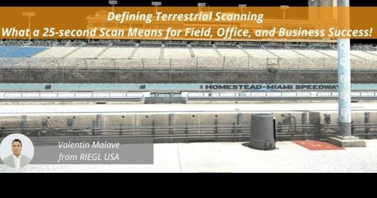
Recording Available Now for the RIEGL Ultimate LiDAR November Webinar

Reading Time: 2 minutesWatch the recording now to explore cutting-edge RIEGL technology and gain expert insights shared during the November webinar. Click HERE to access this recording and the entire webinar playlist. This webinar highlighted the RIEGL VZ-600i, a state-of-the-art terrestrial laser scanner that will streamline your projects with its unparalleled precision and speed. This scanner has a […]
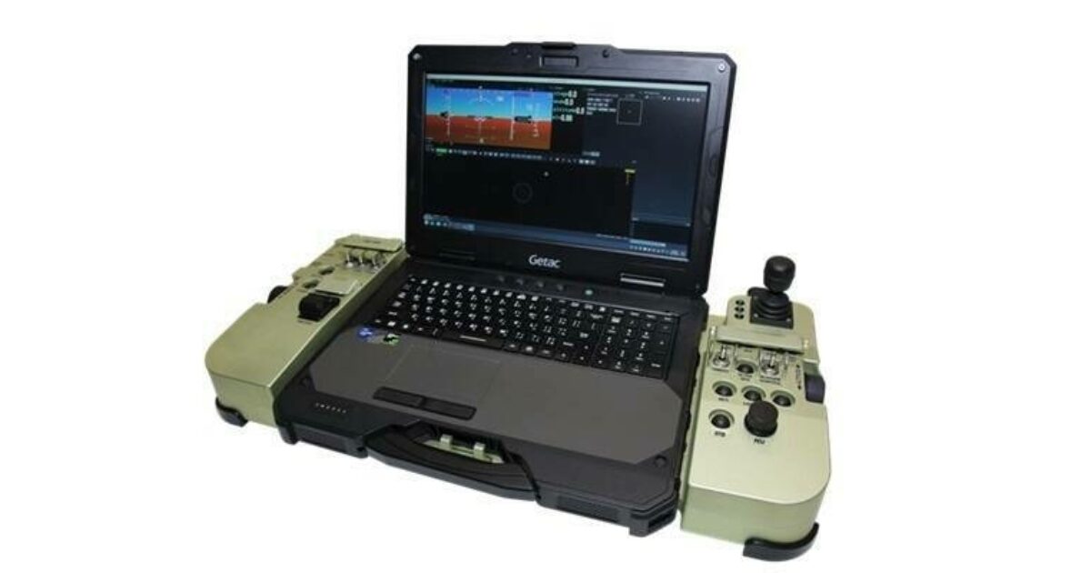
UAVOS Releases Next-Generation Ground Control Station

Reading Time: < 1 minuteUAVOS has announced the availability of its next-generation Portable Ground Control Systems PGCS.7. UAVOS” new PGCS.7 improves on the company’s previous generation by taking years of feedback from clients and prospects to make a highly reliable GCS for unmanned operations. The PGCS.7 has a new generation powerful Getac X600 PC, an external redundant power supply, […]