Vegetation Assessment Along Waterbodies Completed with SimActive

Reading Time: < 1 minuteMontreal, Canada, November 5th, 2024 – SimActive Inc., a world-leading developer of photogrammetry software, announces the use of its Correlator3D product in the mapping of lakeshores in the Carolinas to assess vegetation encroachment. Even in challenging environments for photogrammetry along waterbodies, the software allows for the creation of accurate surfaces, point clouds and orthomosaics. Austin […]
US DOT Awards $1M Grant to Modernize Iowa’s Rural Infrastructure Through Advanced Geospatial Mapping

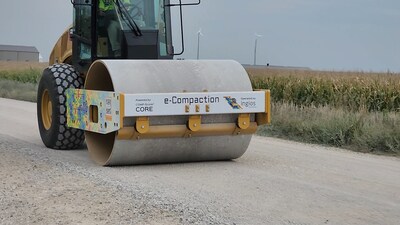
Reading Time: 2 minutesAMES, Iowa — Ingios Geotechnics, a leading provider of construction technology and civil engineering services, is partnering with Buena Vista County and the Iowa County Engineers Association Service Bureau (ICEASB) to implement a $1 million US DOT Accelerated Innovation Deployment (AID) Demonstration Grant to embark on an unprecedented geospatial data collection project for unpaved roads in Iowa. The project will involve […]
NUAIR and SRAA Celebrate New Headquarters and Highlight Central New York’s Leadership in Advanced Air Mobility and Drone Innovation

Reading Time: 4 minutesSYRACUSE, N.Y.- Just outside the glass doors of Terminal A at Syracuse Hancock International Airport, NUAIR’s newly established headquarters sits immediately next to the NUAIR Center of Excellence for Advanced Air Mobility. The Center of Excellence offers visitors a glimpse into the future of transportation with Uncrewed Aircraft Systems (UAS) and Advanced Air Mobility (AAM) […]
GIS Certification Institute (GISCI) Welcomes New President and Members to Board of Directors
Reading Time: 2 minutes[Des Plaines, IL] – The GIS Certification Institute (GISCI) is thrilled to announce the appointment of a new president and several outstanding board members, highlighting its unwavering commitment to elevating the geospatial profession and driving innovation in the field. Effective immediately, Chief Executive Officer of Cultivate Geospatial Solutions LLC Allen Ibaugh, GISP, will step into […]
Strong Outlook for Global Sensor Market: Set to Exceed US$250B by 2035
Reading Time: 6 minutesAuthor: Dr Jack Howley, Technology Analyst at IDTechEx The global sensor market is well established, with hundreds of millions of sensors produced yearly. Yet the market remains in flux, with trends in future mobility, edge computing, AI, and digital healthcare continuously evolving and reshaping sensor technology requirements. IDTechEx predicts that the global sensor market will be worth […]
PNRR MER project delivers first coastal habitat insights

Reading Time: 2 minutesThe first preliminary data of the PNRR MER A16-A18 project of the Italian Institute for Environmental Protection and Research (ISPRA) for the mapping of Italian coastal habitats has been acquired, available through the WebGIS Virgeo cartographic platform. The project is part of Mission 2 of the PNRR, dedicated to the green revolution and ecological transition, […]
GMV successfully completes the FASTNAV planetary exploration project

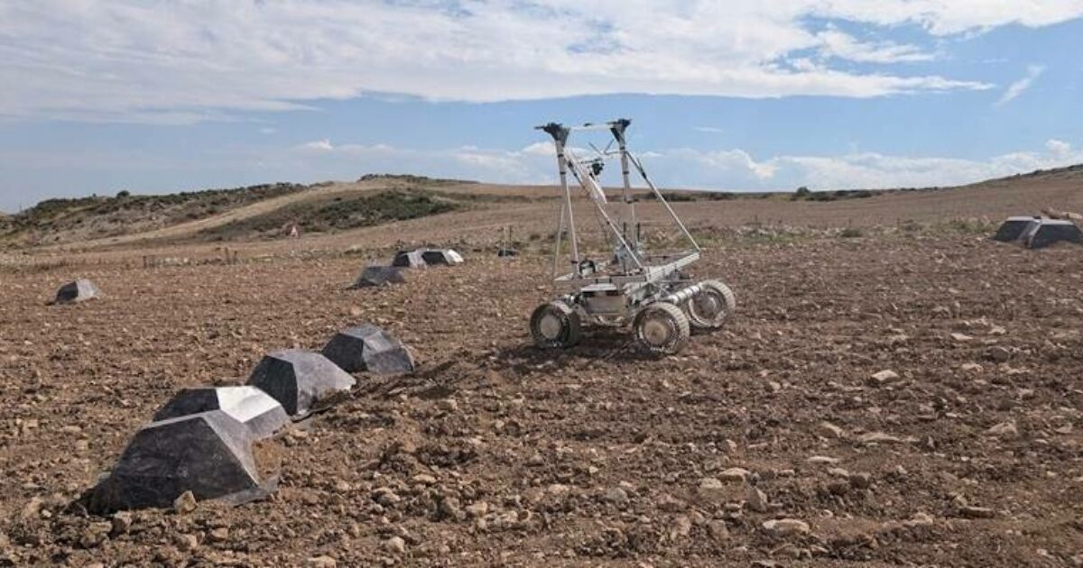
Reading Time: < 1 minuteFASTNAV (Multi-range Navigation for Fast Moon Rovers) has developed and demonstrated a navigation solution for rovers capable of reaching speeds of 1 m/s, a new milestone for future Lunar Exploration. Multinational tech company GMV has successfully completed the FASTNAV (Multi-range Navigation for Fast Moon Rovers) project. This initiative focused on developing, maturing, and demonstrating a […]
Open Cosmos Expands Operations in Portugal

Reading Time: < 1 minuteOpen Cosmos, a provider of satellite technology, is announcing the expansion of its operations in Portugal and that it will incorporate three Portuguese satellites into its OpenConstellation. The company will take charge of the High-Resolution Earth Observation activities as part of the PRR Portuguese Space Agenda. Open Cosmos will fully design, manufacture and test these […]