ESG Launches Pandell Whitestar Integrated Solution to Streamline Land Asset Life Cycle Management for Energy Companies

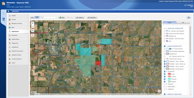
Reading Time: 3 minutesHOUSTON, Oct. 29, 2024 — ESG, a global leader in energy SaaS solutions, today announced the immediate availability of the Pandell Whitestar integrated solution to help energy companies identify and manage land assets using precise geospatial data. Part of the Pandell Platform, the integrated solution enhances land asset life cycle management by combining advanced land management […]
Exyn broadens Nexys ecosystem with Inspired Flight partnership

Reading Time: 2 minutesExyn Technologies, a leader in autonomous robotics, has enhanced its modular 3D mapping capabilities through Nexys, now fully integrated with the IF800 Tomcat UAV from Inspired Flight Technologies. This compatibility brings together advanced mapping precision and the dependability of a high-performance, medium-lift drone, expanding opportunities for unmanned exploration. The IF800 Tomcat by Inspired Flight is […]
Geovation Announces 19th Cohort on Accelerator Programme

Reading Time: 2 minutesGeovation, Ordnance Survey’s (OS) geospatial innovation hub, welcomes the next cohort of GeoTech and PropTech startups to join the award-winning Accelerator Programme. The Accelerator Programme, which is also supported and funded by HM Land Registry (HMLR), is designed to provide start-ups with specialist support to help grow their businesses, while developing innovative and sustainable solutions […]
ESA WorldAgrocommodities contract awarded to GAF AG and consortium

Reading Time: < 1 minuteGAF AG, an e-GEOS (Telespazio/ASI) company, and a consortium of European partners (VITO, Wageningen University, GFZ, e-GEOS, Meridia, and Terrasphere) have been awarded the ESA WorldAgrocommodities contract following a tendering procedure. The project, with a duration of 24 months, focuses on the EUs Deforestation Free Supply Chain Regulation (EUDR). The objective is to support EU […]