Thin Cool Surface Skin Boosts Ocean’s Carbon Uptake

Reading Time: < 1 minuteThe global ocean absorbs roughly a quarter of carbon emissions from human activities, which is extremely important in helping to slow climate change. On the flip side, however, this benefit does come at a cost: as oceans take in more carbon, their waters become more acidic, endangering the health of marine ecosystems. Enhancing our understanding […]
Septentrio expands its ecosystem by collaborating with GNSS Store
Reading Time: 2 minutesLeuven, Belgium – Septentrio, a leader in high-precision GNSS* positioning solutions, is collaborating with GNSS OEM Store, provider of user-friendly centimeter-level GNSS modules, antennas, and development kits for individuals and professionals. A variety of new evaluation boards, dongles, compact smart antennas and other plug-and-play systems have been developed by GNSS Store. These new products are based […]
Satellite-Based Solution to Ship Groundings in Coastal Waters

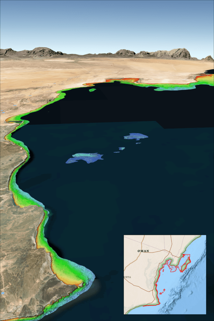
Reading Time: 2 minutesMultiple recent incidents in which naval and commercial vessels ran aground have highlighted the dangers of maritime operations in shallow or poorly charted coastal waters. TCarta Marine of Denver offers a cost-effective, environmentally safe solution using Earth observation satellites to derive accurate water depth measurements in near-shore areas. TCarta Satellite Derived Bathymetry (SDB) on the […]
Copernicus relies on geospatial data for effective emergency mapping

Reading Time: 2 minutesWith extreme weather events on the rise, national geospatial data is becoming indispensable for effective emergency response. In countries like Latvia, Portugal, and Slovenia, data from national geospatial, cadastre, and land registration authorities have been crucial for mobilizing the Copernicus Emergency Management Service. Case studies published by EuroGeographics – the Association for Europe’s National Mapping, […]
HawkEye 360 Operational Status of Cluster 9 and Cluster 10

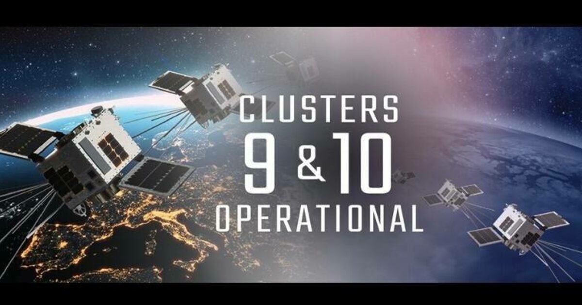
Reading Time: < 1 minuteHawkEye 360, the world’s provider of space-based radio frequency (RF) data and analytics, announced that its Cluster 9 satellites have achieved Full Operational Capability (FOC), significantly boosting the company’s data collection and global monitoring capabilities. Additionally, Cluster 10 has reached Initial Operational Capability (IOC) and is expected to be fully operational by early November. Cluster […]