CATALYST Unveils INSIGHTS 2.0 – LIDAR Magazine

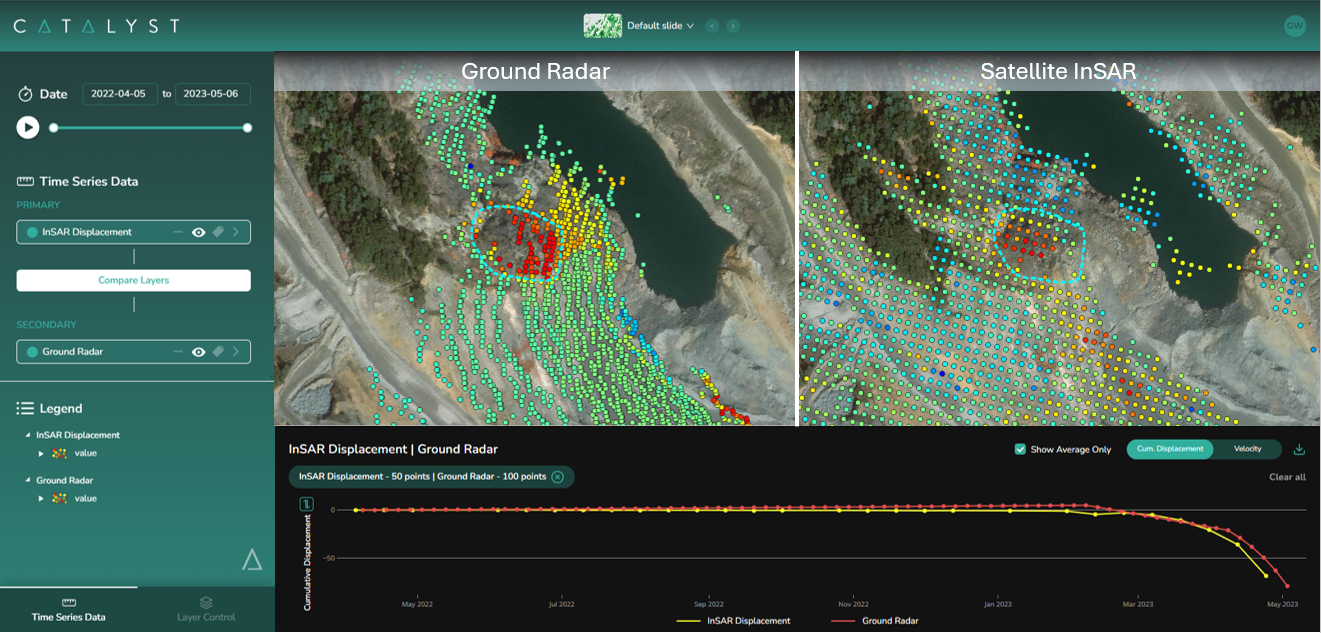
Reading Time: 2 minutesPioneering platform transforms Earth observation data into actionable intelligence across key industries. Markham, Harwell 23/10/2024 — CATALYST, a PCI Geomatics Enterprise Inc. brand and leader in Earth observation solutions with over 40 years of industry experience has launched INSIGHTS 2.0, a groundbreaking, first-of-its-kind, visualization platform designed to integrate and interpret data from multiple sources. Designed […]
Webinar: Mapping Water: Can You Really Do It?

Reading Time: < 1 minuteHosted by Eric Andelin CP, Senior Workflow Advisor, SimActive with guest speaker Austin Scheib, ASPRS Certified UAS Pilot. Register here: https://hubs.ly/Q02Vz5cP0 Webinar Announcement Mapping areas with water through photogrammetry can be a challenge. Sun reflections and homogeneity between images can really make the process difficult. Resulting DSMs/DTMs can often be noisy, while orthomosaics may present […]
AB Surveying and Development: Fast-Tracking Renewable Energy Projects with Non-Invasive Aerial and Bathymetric LiDAR
Reading Time: 5 minutesAB Surveying and Development: Fast-Tracking Renewable Energy Projects with Non-Invasive Aerial and Bathymetric LiDAR In recent years, the demand for onshore renewable energy projects such as solar farms and wind farms has surged, requiring fast and accurate data to ensure efficient project execution. Since 2016, AB Surveying and Development (ABSD) has been at the forefront […]
Umbra Selected by Space Development Agency to Integrate Remote Sensing Capabilities into Future Space Architecture

Reading Time: 2 minutesSANTA BARBARA, Calif. — Umbra, a vertically integrated space technology company operating the world’s highest resolution commercial Synthetic Aperture Radar (SAR) satellites, announced today that it has been awarded a multi-million dollar contract by the Space Development Agency (SDA) to demonstrate the feasibility of integrating its commercial remote sensing capabilities into SDA’s Proliferated Warfighter Space […]
Vexcel Collects High-Resolution Aerial Imagery After Hurricane Milton

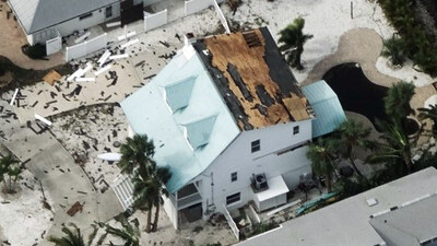
Reading Time: 2 minutesCENTENNIAL, Colo. — Vexcel has completed a wide-scale, multi-day aerial imagery collection in response to Hurricane Milton, covering nearly 20% of Florida. As part of its post-disaster Gray Sky Program, the collection includes high-resolution ortho and multispectral imagery across all areas, with oblique imagery captured in select urban locations. Every property in the Hurricane Milton […]
Bringing EU Space to the anticipatory humanitarian action community

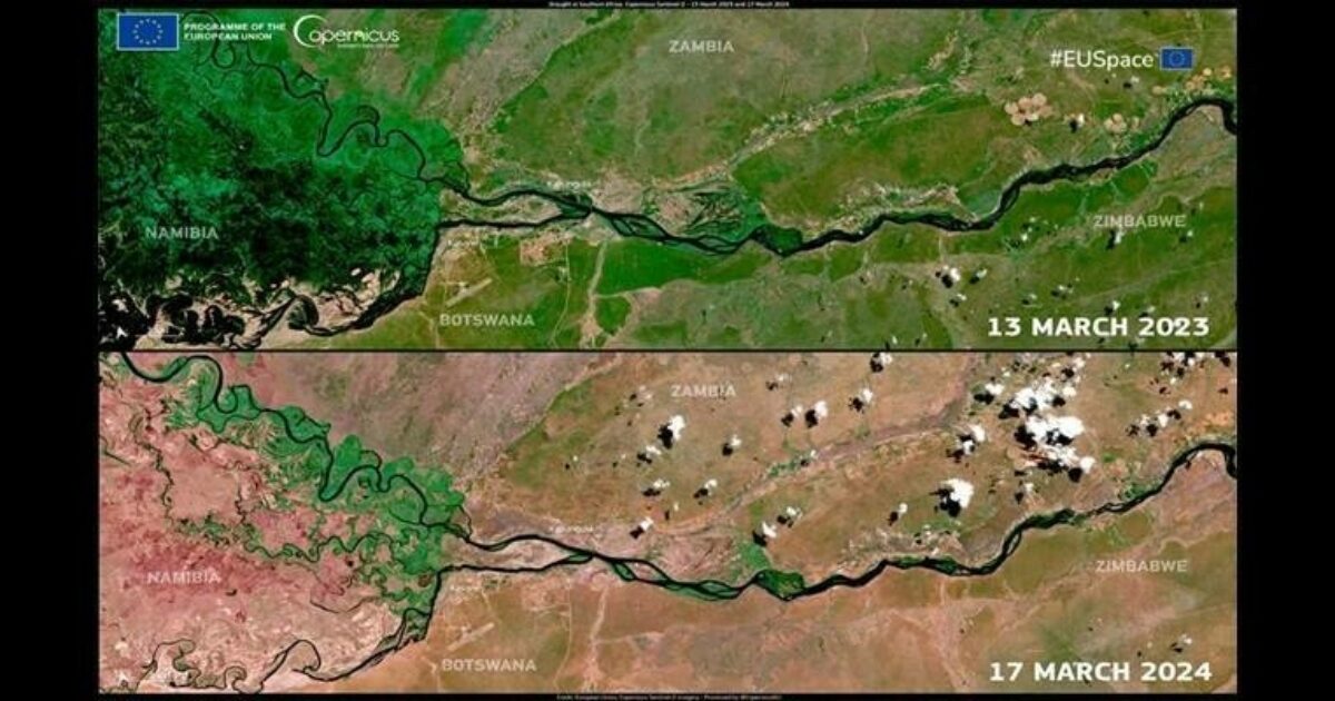
Reading Time: 2 minutesEUSPA”s MoU with the Anticipation Hub enhances this approach, highlighting satellite data’s role in mitigating climate and weather impacts. Acting quickly, during a humanitarian crisis is important. It reduces the loss of human lives and minimizes the impact on the communities at risk. A significant percentage of today’s humanitarian crises can be predicted, with technological […]
John Deere, Trimble Partner to Deliver Advanced Technology Solutions to More Construction Customers Worldwide
Reading Time: 2 minutesTrimble announced a new strategic relationship with John Deere that will accelerate the innovation and adoption of grade control technology for the construction industry. The availability of the Trimble Earthworks Grade Control technology integrated with the John Deere SmartGrade platform will make it easier for John Deere customers around the world to leverage the full […]