Smart digital reality takes centre stage at Hexagon Live Brussels

Reading Time: 3 minutesThis year’s Hexagon Live Brussels demonstrated how digital twin technologies are being applied in infrastructure development, defence and many other sectors, according to Wim van Wegen, GIM International’s head of content. Here, he shares his findings from the two-day event (1-2 October), which brought together industry leaders and experts in the city’s historic Maison de […]
Enhancing mobile mapping with high-resolution machine vision expertise

Reading Time: 2 minutesAI-InfraSolutions has partnered with Stemmer Imaging to develop an innovative 360° panoramic camera head. This collaboration, which integrates AI-InfraSolutions’ mobile mapping capabilities with Stemmer Imaging’s high-resolution machine vision expertise, marks a significant advancement in high-quality geospatial data acquisition and analysis. Against the backdrop of the growing demand for precise geospatial data, this partnership has led […]
GeoCue unveils LP360 Land to elevate TrueView GO handheld Lidar data processing

Reading Time: 2 minutesGeoCue has announced the release of LP360 Land to elevate handheld Lidar scanning using the TrueView GO. When it was launched in August, the TrueView GO set a new standard for handheld Lidar scanners by combining advanced hardware with user-friendly operation. As the latest addition to the LP360 software ecosystem, LP360 Land now empowers users […]
Cloud GIS provides North Devon with easy access to streamlined service information

Reading Time: 2 minutesNorth Devon Council awards three-year GIS contract to Cadcorp via G-Cloud North Devon Council (NDC) has selected location intelligence company Cadcorp to supply cloud hosted web mapping. The contract was awarded using the G-Cloud procurement framework and includes Cadcorp SIS Desktop and Cadcorp SIS WebMap. Cadcorp is providing a range of onboarding services, including project […]
UK satellites to boost maritime security on track for 2025 launch
Reading Time: < 1 minuteA satellite developed by the UK business Horizon Technologies is on schedule for launch in mid-2025. A satellite developed by the UK business Horizon Technologies has successfully completed its Critical Design Review (CDR), and is on schedule for launch in mid-2025, the UK Space Agency announced today. The Amber-2 Maritime Domain Awareness (MDA) Satellite will […]
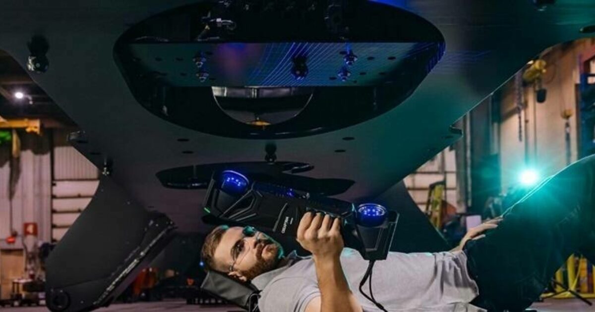
New Enhanced Specifications for the HandySCAN 3D|MAX Series

Reading Time: < 1 minuteCreaform solidifies its position by delivering unmatched accuracy and reliability for complex and large part measurements. Creaform, a business of AMETEK, and worldwide provider of automated and portable 3D measurement solutions, announced the latest advancements to its HandySCAN 3D|MAX Series. These improvements include a significant enhancement of the volumetric accuracy for large parts, additional measurement […]
EarthDaily Analytics announces acquisition of Descartes Labs

Reading Time: 2 minutesEarthDaily Analytics, a leading provider of Earth Observation data and solutions, has acquired Descartes Labs, known for delivering actionable intelligence to global enterprises, along with its subsidiary, Descartes Labs Government. The combined company will be led by EarthDaily’s CEO Don Osborne. The integration of Descartes Labs’ established insurance, energy, mining, and U.S. defense and intelligence […]
First flight for HVO’s new airborne Lidar system

Reading Time: < 1 minuteFor decades, topographic mapping has played a crucial role in monitoring volcanic activity, enabling scientists to track changes in landscape and anticipate lava flow paths during eruptions. Lidar technology has emerged as the go-to tool for this task, and now the USGS Hawaiian Volcano Observatory (HVO) is equipped with its own lidar system, allowing for […]