Dubai to host GeoWorld, the first-ever event in MEASA showcasing geospatial advancements

Reading Time: 3 minutesThe first event of its kind in the region, GeoWorld, transforms industries with geospatial excellence to support rapid growth in construction, real estate, infrastructure, smart city and other industries As the Middle East, Africa, and South Asia (MEASA) region experiences rapid growth in construction, real estate, energy and infrastructure development, smart city initiatives and environmental […]
UK Met Office launches new Local Authority Climate Service

Reading Time: 3 minutesBuilt using technology from Esri UK to enable climate data to be viewed geospatially The Met Office has today launched the Local Authority Climate Service, a tool that provides local authorities with easy access to tailored information on climate change, to support local climate change adaptation planning. Underlying the natural variability in weather across the UK […]
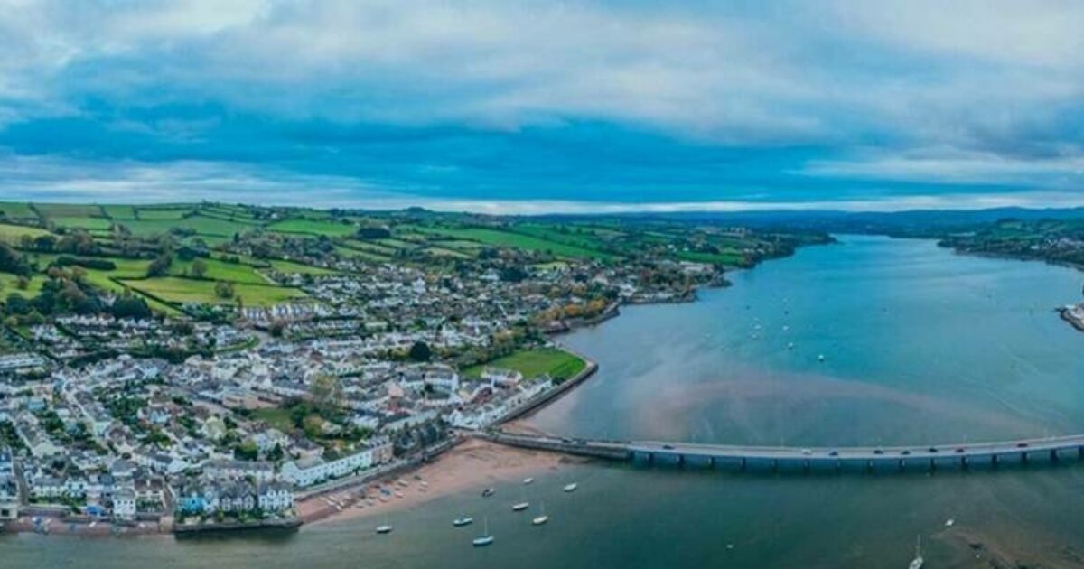
Devon & Cornwall Police and Dorset Police award corporate GIS contract to Cadcorp

Reading Time: 2 minutesDevon & Cornwall Police and Dorset Police have selected Cadcorp SIS Desktop, Cadcorp SIS WebMap and the web services engine Cadcorp GeognoSIS as its enterprise corporate GIS. The procurement includes Cadcorp support, training, and a range of related professional services. Devon & Cornwall Police entered a strategic alliance with Dorset Police to improve delivery, resilience, […]
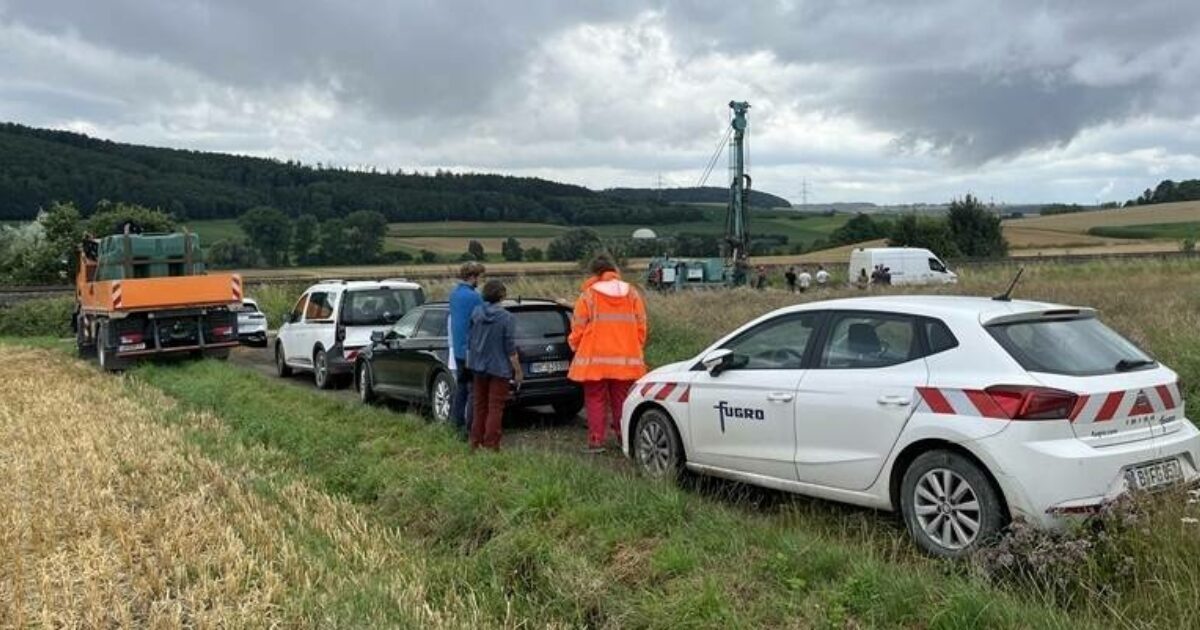
Fugro starts comprehensive site investigation and geoconsulting for Germany’s Rhein-Main-Link energy route

Reading Time: < 1 minuteFugro has been awarded a contract by ARGE R-M-L, a consortium comprising of Arcadis and ILF Beratende Ingenieure GmbH, to provide site investigation and consultancy services as part of the Rhein-Main-Link project. Rhein-Main-Link is a 600 km underground cable connection for transporting electricity from offshore wind farms in the North Sea to Germany’s Rhein-Main metropolitan […]