SimActive Used for Mapping Construction Projects

Reading Time: < 1 minuteMontreal, Canada, October 8th, 2024 – SimActive Inc., a world-leading developer of photogrammetry software, announces the use of its Correlator3D product in the mapping of large construction projects by US firm Bullseye Construction. The software allows for the creation of accurate map products including DSMs, point clouds and orthomosaics. Bullseye Construction operates its own drone […]
Langan Acquires Robert Stephen Consulting

Reading Time: < 1 minutePARSIPPANY, N.J. — Langan Engineering & Environmental Services officially announced today the acquisition of Robert Stephen Consulting (RSC), a leader in Integrated Workplace Management Systems (IWMS) and Geographic Information System (GIS) solutions. Langan continues to rapidly grow its digital solutions practice around the country, and the addition of RSC reinforces the firm’s commitment to providing […]
Over 3,000 schools taking part in National Education Nature Park in England

Reading Time: 3 minutesMore than 2 million square metres of habitats mapped More than 1 in 8 schools and colleges across England have joined the National Education Nature Park in its first year The programme’s first annual report shows that children and young people have mapped more than 2 million m2 of habitats across the education estate, equivalent […]
u-blox launches first satellite IoT-NTN cellular module with embedded GNSS solving remote connectivity challenges

Reading Time: < 1 minuteThe SARA-S528NM10, powered by the UBX-S52 cellular/satellite chipset and M10 GNSS platform for low-power and concurrent positioning, expands the company’s cellular portfolio for the satellite IoT market based on the 3GPP Rel 17 specification for global connectivity. u-blox, a global provider of positioning and wireless communication technologies and services, has launched its first combined 3GPP-compliant […]
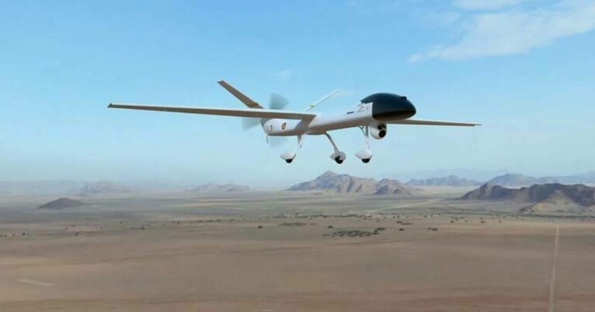
Airbus entrusts GMV with the development of the navigation system of the UAS SIRTAP

Reading Time: < 1 minuteThe SIRTAP remotely piloted aircraft is designed for advanced intelligence, surveillance, and reconnaissance (ISR) missions of the Army and the Air and Space Forces GMV, a company in aeronautics, defense, and security technology and systems, has been selected by Airbus to develop the navigation system of the tactical UAS SIRTAP (High Performance Remotely Operated System). […]