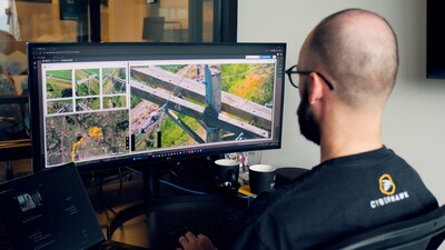
Cyberhawk Introduces Visualive: Transforming AI-Powered UAS Inspections

Reading Time: 3 minutesDENVER — Cyberhawk, a global leader in drone-based inspection and survey services and visual data management software, announces a strategic enhancement to its flagship iHawk enterprise SaaS visual data management platform: Visualive. This latest version of iHawk’s image inspection module delivers new capabilities and leverages AI to enable the instant analysis of drone-captured asset data, […]
Schools map more than 2 million square metres of habitats
Reading Time: 3 minutesMore than 1 in 8 schools and colleges across all regions of England have joined the National Education Nature Park programme in its first year The first annual report from the National Education Nature Park has been published, showing that more than 1 in 8 schools and colleges across England have joined the free programme […]
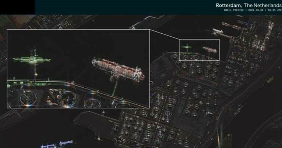
ICEYE announces new Dwell Precise imaging mode providing 25 cm resolution

Reading Time: < 1 minuteThe industry’s highest fidelity 25 cm product will allow ICEYE’s customers to identify objects and features on the earth’s surface with far greater clarity than before ICEYE, the global provider of SAR satellite operations for Earth Observation and persistent monitoring, introduced Dwell Precise, a new imaging mode that adds advanced capability to ICEYE’s line of […]
Sentinel-2 data reveal significant seasonal variations in intertidal seagrass

Reading Time: 3 minutesWith data from the Copernicus Sentinel-2 mission, researchers have revealed seasonal variations in intertidal seagrass (pictured below) across Western Europe and North Africa. As a key indicator of biodiversity, these new findings offer valuable insights for the conservation and restoration of these vital ecosystems The intertidal zone is the area where the ocean meets the […]