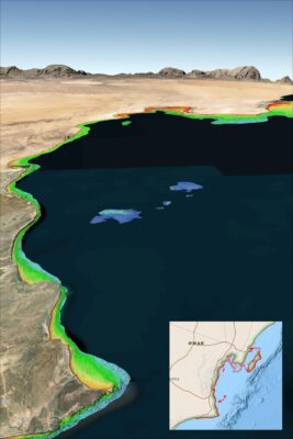
TCarta Provides High-Tech Solution to Ship Groundings in Coastal Waters

Reading Time: 3 minutes Denver, Colorado, 3 October 2024 – Multiple recent incidents in which naval and commercial vessels ran aground have highlighted the dangers of maritime operations in shallow or poorly charted coastal waters. TCarta Marine of Denver offers a cost-effective, environmentally safe solution using Earth observation satellites to derive accurate water depth measurements in near-shore areas. TCarta […]
Headwall Photonics Announces Partnership as Value Added Provider of ENVI Software

Reading Time: < 1 minute Bolton, MA – Headwall Photonics, the leading provider of high-performance hyperspectral imaging solutions, is excited to announce its new partnership with NV5, becoming a value-added provider of NV5’s renowned ENVI® software. ENVI is the premier software package for geospatial data processing and analysis and is trusted by customers worldwide. The collaboration integrates ENVI software with Headwall’s […]
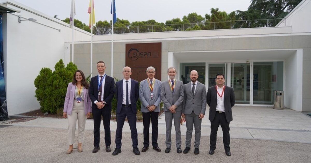
GMV to evolve the infrastructure of the Galileo’s European GNSS Service Centre

Reading Time: < 1 minute The framework contract is valued at 35 million euros, with a duration of six years. The European Union Agency for the Space Programme (EUSPA) has awarded GMV a framework contract to evolve the infrastructure of the European GNSS Service Centre (E-GSC). The contract, valued at 35 million euros, has a duration of six years. The […]
Galileo High Accuracy service undergoes successful testing in Africa

Reading Time: < 1 minute The demonstration was the first of its kind for the Galileo High Accuracy Service on the African continent. The SatNav Africa Joint Programme Office, which champions the development of satellite navigation (GNSS, SBAS) in Africa, conducted a field demonstration to showcase the benefits of the Galileo High-Accuracy Service (HAS) for the African mapping and GIS […]
EU funding vital for pan-European geospatial data in digital Europe

Reading Time: 2 minutes Funding from the European Union (EU) plays a crucial role in ensuring that official pan-European geospatial data can support the development of Digital Europe’s Data Spaces. In its response to the programme’s stakeholder consultation, EuroGeographics, the not-for-profit organization representing Europe’s National Mapping, Cadastral, and Land Registration Authorities (NMCAs), emphasized that reliable, authoritative data is just […]
Fugro’s geodata plays key role in Hurricane Helene recovery

Reading Time: < 1 minute In the wake of Hurricane Helene’s devastating landfall in the southeastern US, Fugro swiftly joined recovery efforts. Partnering with McKenzie Intelligence Services (MIS), Fugro provided high-resolution aerial imagery for three of the hardest-hit areas: Perry and Madison in Florida’s Big Bend region, and Valdosta, Georgia. This detailed imagery is crucial for MIS, allowing them to […]