GeoLas Systems Unveils the ELMAP-P at Intergeo 2024
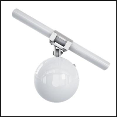
Reading Time: 2 minutes Aschau i. Chiemgau, Germany 24.09.2024 – GeoLas Systems is excited to announce the launch of the ELMAP-P, a revolutionary airborne LiDAR pod designed specifically for Cessna aircraft models 172, 182, and 206. This turn-key LiDAR solution integrates GeoLas Systems’ industry-leading ELMAP LiDAR technology, along with advanced GNSS and IMU systems, into a specialized pod that […]
Digitize the World – LIDAR Magazine

Reading Time: 4 minutes RIEGL’s Ultimate LiDARTM Technology offers a wide range of performance characteristics and serves as a platform for continuing Innovation in 3D for the LiDAR industry. New products, that will be announced at this year’s INTERGEO in Stuttgart, Germany, are highlighted below. RIEGL VQ-1560 III-SDual Channel Waveform Processing Airborne LiDAR Scanning System The VQ-1560 III-S is the latest […]
Maptek Welcomes New Members to Prestigious Hall of Fame

Reading Time: 3 minutes Maptek is proud to announce the newest members of our Hall of Fame. These individuals have made significant contributions in their fields and have inspired others through their achievements. Announcing the 2024 inductees during MINExpo International, Maptek CEO Eduardo Coloma thanked each of them for their commitment to promoting technology in mining. The award recognises […]
Trimble Introduces New Direct Georeferencing Portfolio for UAV Mapping

Reading Time: 2 minutes Integration of Trimble CenterPoint RTX delivers superior accuracy, greater efficiency and ease of use at the push of a button Westminster, Colo. and Stuttgart, Germany, September 24, 2024 — Trimble (NASDAQ: TRMB) announced today the launch of premium direct georeferencing solutions for mapping sensors on uncrewed aerial vehicles (UAVs) – the Trimble® APX RTX portfolio. […]
Hivemapper Introduces Bee Maps: Revolutionizing the Mapping Industry with a Deeper, Smarter and More Accurate View of the World
Reading Time: 3 minutes SAN FRANCISCO — Hivemapper Inc., the developer and driving force behind the world’s fastest-growing street-level mapping project, the Hivemapper Network, today announced the launch of its new mapping innovation brand: Bee Maps. Bee Maps (beemaps.com) exists to serve map data customers with unparalleled freshness and accuracy. It does so by tapping into the cutting-edge capabilities of the […]
IBM and NASA Release Open-Source AI Model on Hugging Face for Weather and Climate Applications
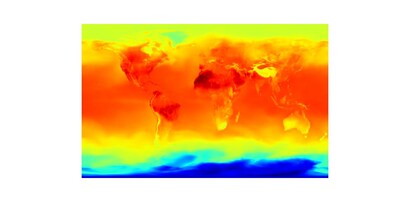
Reading Time: 4 minutes YORKTOWN HEIGHTS, N.Y.— IBM (NYSE: IBM) today announced a new AI foundation model for a variety of weather and climate use cases, available in open-source to the scientific, developer, and business communities. Developed by IBM and NASA, with contributions from Oak Ridge National Laboratory, the model offers a flexible, scalable way to address a variety of challenges related […]
New single photon LiDAR technology boosts the efficiency of large-area airborne mapping projects
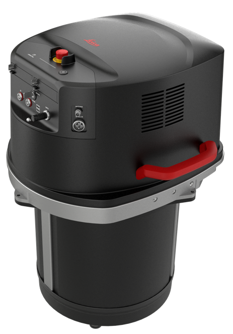
Reading Time: 2 minutes With over 14 million measurements per second, the new SPL can produce high-resolution point clouds for detailed modelling of the ground and surface features (Heerbrugg, 24/09/2024) Leica Geosystems, part of Hexagon, today announced a new high-performance single photon LiDAR (SPL) technology that can be integrated into hybrid sensors to boost the efficiency of country-wide […]
GeoLas Systems Unveils the ELMAP-P at Intergeo 2024: A Game-Changing LiDAR Pod Solution for Cessna Aircrafts

Reading Time: 2 minutes For Release on September 24th, 10 am (CEST) GeoLas Systems Unveils the ELMAP-P at Intergeo 2024: A Game-Changing LiDAR Pod Solution for Cessna Aircrafts Aschau i. Chiemgau, Germany 24.09.2024 – GeoLas Systems is excited to announce the launch of the ELMAP-P, a revolutionary airborne LiDAR pod designed specifically for Cessna aircraft models 172, 182, and […]
INTERGEO 2024 in Stuttgart KICKS OFF: AI und Innovations, Experts und forward-looking topics

Reading Time: 2 minutes From September 24 to 26, 2024, INTERGEO, the world”s most important event for geodesy, geoinformation, and land management, will take place at Messe Stuttgart. The CONFERENCE and EXPO are the platform for the international geo-community, showcasing why geoinformation is indispensable in our modern world. Opening and Highlights The president of DVW e.V., Prof. Dr.-Ing. Rudolf […]
Leica Geosystems launches lightweight GS05 GNSS Smart Antenna with tilt compensation for all-day surveying
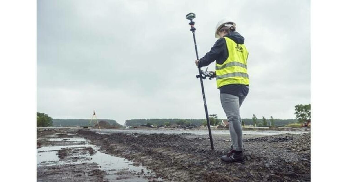
Reading Time: < 1 minute Leica Geosystems, part of Hexagon, introduced the Leica GS05, a compact, lightweight GNSS Smart Antenna featuring calibration-free tilt compensation designed for surveyors who tackle challenging jobs and work long hours. Weighing just 0.75 kilogrammes including the battery, the GS05 significantly reduces operator fatigue during extended surveys. Its robust design ensures durability and reliability in the […]