Sensor Integration Celebration – LIDAR Magazine

Reading Time: 4 minutes Considerate of this edition’s wide-scale distribution at Intergeo 2024, held in Stuttgart, Germany on 24-26 September, we have endeavored to imbue the following pages with some European flavor. On page 48 you’ll find part II in the series “Elevations for the Nations” by Ada Perello of EAASI1, reporting on five more countries’ approaches to national […]
Vexcel Imaging Enters the Lidar Market

Reading Time: 13 minutes Recent Vexcel Imaging announcements Vexcel Imaging, headquartered in the beautiful city of Graz in Austria, is familiar to most readers. Its high-performance aerial cameras, UltraCam Eagle 4.1, UltraCam Osprey 4.1 and UltraCam Condor 4.1, play hard in the global market, supported by UltraMap software. Vexcel Imaging’s announcements of sales successes figure prominently on our website. […]
A Digital Twin for Nottingham

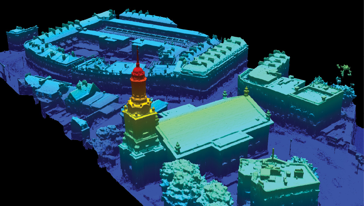
Reading Time: 6 minutes As urban environments continue to evolve, local authorities require increasingly comprehensive and accurate geospatial data to inform governance, planning, and communication with their communities. Smart city initiatives are making this happen by harnessing the power of reality capture to generate digital twins of entire cities. Nottingham’s digital twin. One example is the city of Nottingham […]
Elevations for the Nations Part II

Reading Time: 11 minutes Mapping activities for the United States are centrally regulated for a land area of 3.8 million square miles, whereas lidar coverage of Europe’s 3.9 million square miles is managed at the national level, by 50 different countries. This approach has resulted in varying levels of coverage: some areas boast extensive lidar data, while others are […]
Trimble and Worldsensing collaborate on wireless GNSS sensors

Reading Time: 2 minutes Trimble and Worldsensing have announced a new solution for long-term 3D ground and structural movement monitoring, integrating Trimble’s 4D Control (T4D) software with the Trimble GNSS Meter, powered by Worldsensing. This collaboration aims to address the challenges of land and structure instability, offering a more efficient and cost-effective monitoring option for the mining, construction, and […]