The Emlid Flow Survey App Now Supports DTM Staking and Other Pro-Surveying Tools on Android & iOS

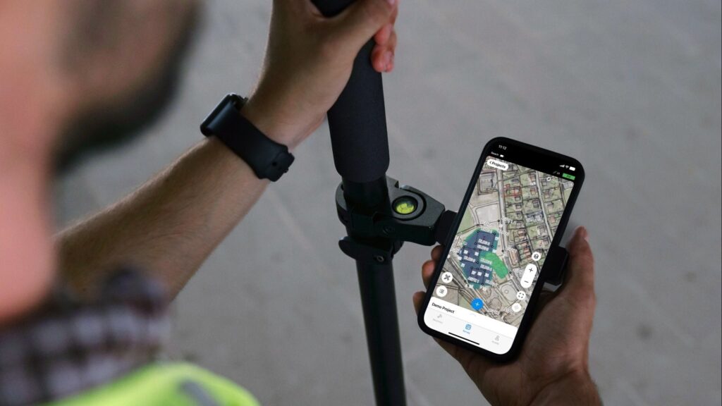
Reading Time: 3 minutes Budapest, September 19th, 2024 – Emlid, the European manufacturer of Reach RTK GNSS receivers, announces major updates to its Emlid Flow mobile and cloud app. Upgraded with Surfaces support, Emlid Flow now has a full range of tools for earthworks, topographic, and as-built surveys. Paired with survey-grade Reach receivers, the app brings efficiency improvements to […]
Virtual Surveyor Adds Productivity Tools to Mid-Level Smart Drone Surveying Software Plan

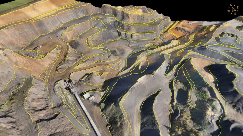
Reading Time: 3 minutes Aarschot, Belgium, 20 September 2024 – Virtual Surveyor has significantly reorganized its smart drone surveying software plans with the addition of the Productivity Tools suite to the Ridge plan. Previously available only in the highest-level subscription package, the Productivity Tools enhance the speed of creating survey products from UAV-derived images and LiDAR data. Line survey […]
Trimble Unveils Transporeon Visibility with Seamless TMS Integration

Reading Time: 3 minutes WESTMINSTER, Colo. — Trimble (NASDAQ: TRMB) announced the launch of Transporeon Visibility in North America. Carriers and shippers in the road, ocean and air transportation sectors can access the locations of their shipments and vehicles in real time in addition to having accurate Estimated Time of Arrival (ETA) information created with powerful AI capabilities. “We’re excited […]
DATAMARK Technologies Earns Frost & Sullivan 2024 Product Innovator Award For Indoor Mapping Excellence

Reading Time: 3 minutes PITTSBURGH — DATAMARK Technologies, a leader in interoperable solutions for public safety location services, has received Frost & Sullivan’s New Product Innovator Award in the Indoor Mapping, North America, category. The award honors DATAMARK Technologies’ INSIDE product, a new cloud-native Software-as-a-Service (SaaS) solution designed to enhance indoor location intelligence and enable mission-critical decision making in real-time […]
Trimble Dimensions User Conference to Showcase Innovative and Connected Technologies for Construction and Geospatial Industries

Reading Time: 2 minutes WESTMINSTER, Colo.— Trimble (Nasdaq: TRMB) announced an expansive lineup of training, networking, technology demonstrations and thought leadership opportunities for its 2024 user conference – Trimble Dimensions – happening November 11-13 in Las Vegas. The annual event brings Trimble users, technology experts and industry leaders together in new and exciting ways. Through a one-of-a-kind experience, attendees can spark new […]
DJI Advances Action Camera Industry with Osmo Action 5 Pro’s Revolutionary Image Quality

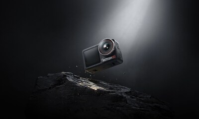
Reading Time: 4 minutes SHENZHEN, China — DJI, the global leader in civilian drones and creative camera technology, today unveils the Osmo Action 5 Pro. The latest generation of DJI’s popular Osmo action camera series delivers several industry-first features rivaling professional cameras. From the 13.5-stop dynamic range and 4-hour battery life to the built-in subject centering and tracking, the […]
Delair and YellowScan unveil fixed-wing DT46 Lidar drone

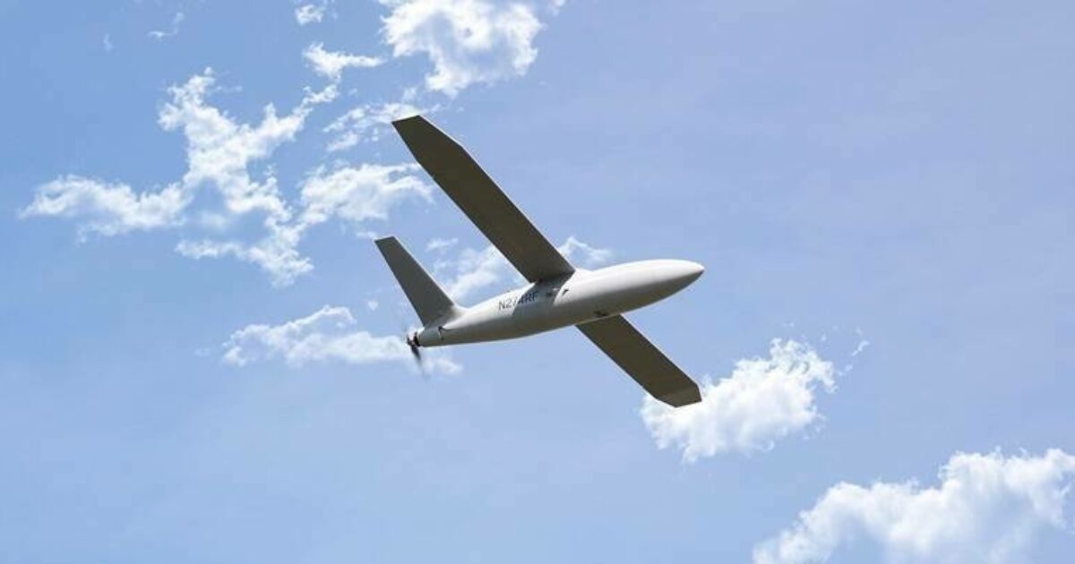
Reading Time: < 1 minute Drone manufacturer Delair and Lidar expert YellowScan have introduced the DT46 Lidar drone, acclaimed as the world’s first fixed-wing UAV tailored for long-distance inspections and the generation of highly precise digital twins. This groundbreaking technology will make its debut at Intergeo 2024. The DT46 features the YellowScan Voyager Lidar, a high-performance laser scanner integrated with […]
Sony returns to Intergeo with innovative drone solutions for surveyors

Reading Time: 2 minutes Sony is returning to Intergeo in Stuttgart from 24 to 26 September for the second consecutive year, recognizing it as a key platform for the geospatial industry. This year, Sony, in collaboration with Gremsy, a leader in gimbal technology, will showcase their latest plug-and-play solutions designed for drone users and manufacturers. The Pixy LR S-Port […]
MoLaS Workshop to Advance Underwater Lidar and 3D Mapping Technology Workshop

Reading Time: < 1 minute On November 27 and 28, Freiburg, Germany, will host the fifth international MoLaS – Mobile Laser Scanning Technology Workshop, organized by the Fraunhofer Institute for Physical Measurement Techniques (IPM). This workshop will feature leading experts discussing the forefront of 3D mapping technology using Lidar. Focusing on infrastructure monitoring, the event will highlight innovations in underwater […]
RapidFlight Successfully Flies E2 Aircraft at Camp Atterbury in T-REX Demonstration

Reading Time: < 1 minute RapidFlight supports DoD’s RDER and TREX initiatives through novel, attritable UAS platforms printed at the tactical edge RapidFlight, a pioneering integrated designer and mass manufacturer of unmanned aircraft systems (UAS), has completed the highly anticipated Technology Readiness Experimentation (T-REX) 2024 demonstration as part of a contract with the Rapid Defense Experimentation Reserve (RDER). The event […]