An empty plinth – LIDAR Magazine

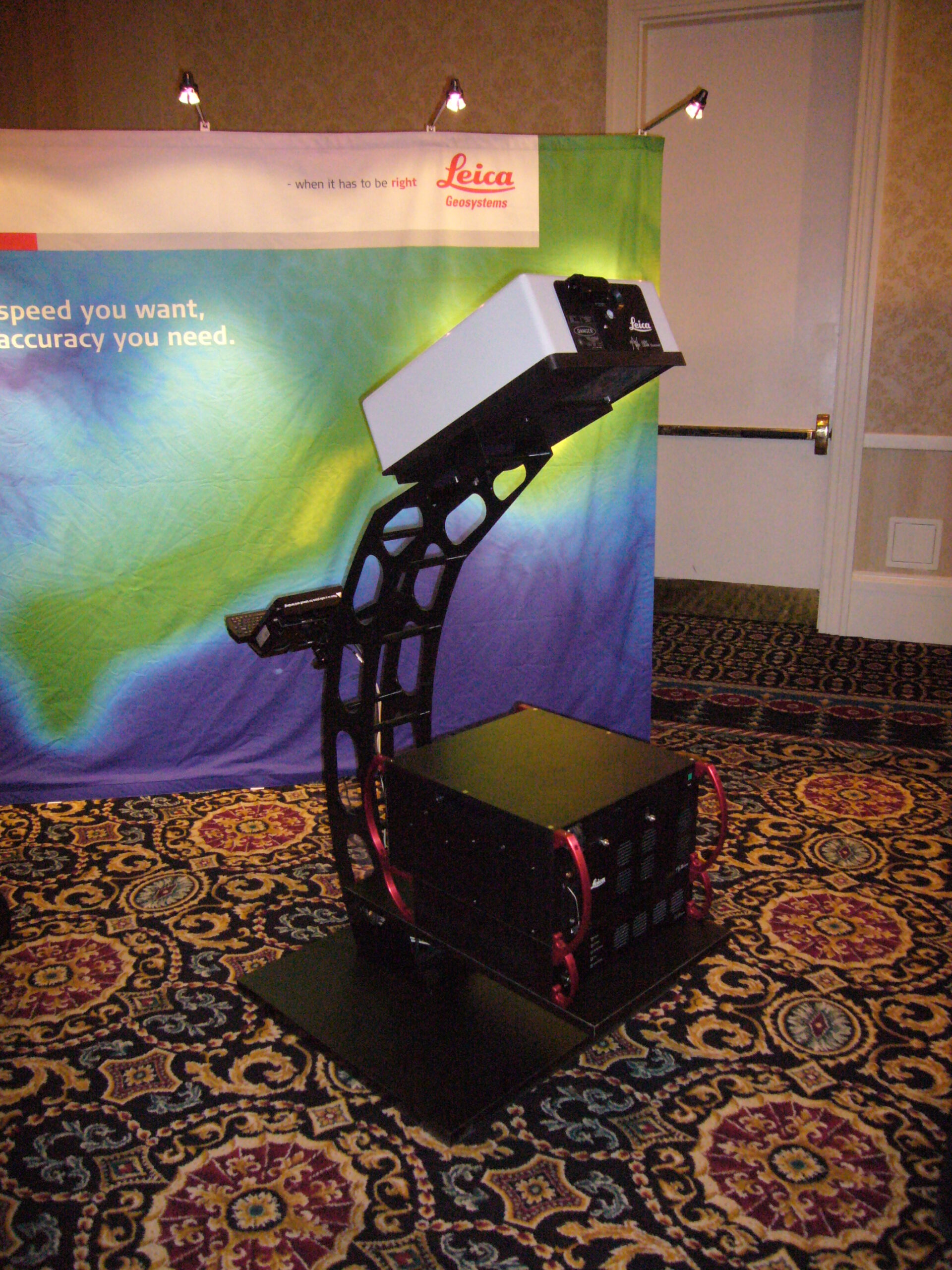
Reading Time: 2 minutes After shepherding nine generations of airborne topographic lidar systems, three generations of hybrid imaging/lidar and one airborne imaging sensor, Ron Roth has departed Leica Geosystems/Hexagon and is seeking new opportunities. Ron’s whole career has been in electro-optics and we featured him in the June/July 2018 issue, including the front cover[1]. Ron has been generous enough […]
UN-GGIM 2024 – LIDAR Magazine

Reading Time: 3 minutes Along with roughly 350 others, I was invited to represent ISPRS at the 14th session of the UN Committee of Experts on Global Geospatial Information Management, held at UN headquarters in New York on 7-9 August. UN-GGIM was established by The United Nations Economic and Social Council (ECOSOC) in 2011. It reports into the UN […]
Wichmann INTERGEO Innovations Award 2024: Vote for the RIEGL miniVUX-3UAV with RiLOC-E!

Reading Time: 2 minutes This fully integrated RIEGL system for UAV-based data acquisition, makes an impression with high data accuracy and extreme user-friendliness, leading to a nomination for the Wichmann INTERGEO Innovations Award 2024! The RIEGL miniVUX-3UAV with RIEGL-subsystem RiLOC-E is a turnkey solution that fully integrates a Micro-Electromechanical System (MEMES) Inertial Measurement Unit (IMUs), a GNSS unit, and developed software that provides a […]
A Tale of Two GIs

Reading Time: 8 minutes It must seem to many attendees at the Esri International User Conference that it’s an advantage to live in San Diego. Well, it’s a mixed blessing. Driving the 26 miles to the opening event, on a Sunday evening, took almost an hour, because the road was being dug up outside the San Diego Convention Center. […]
GRF-250 is LightWare’s Laser Rangefinder Disruption

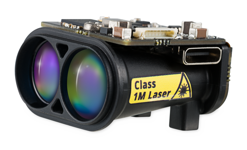
Reading Time: 3 minutes Boulder, Colorado – LightWare has revealed the GRF-250, an ultralight laser rangefinder designed for gimbal integration. Believing that mid-range laser rangefinders can transform intelligence, surveillance, security, search and rescue operations, LightWare’s development team identified a need for better mid-range laser rangefinders. The first of this series of products is GRF-250. LightWare’s CEO, Nadia Nilsen, is […]
WICHMANN INTERGEO INNOVATIONS AWARD 2024: VOTE FOR THE RIEGL MINIVUX-3UAV WITH RILOC-E!

Reading Time: 2 minutes WICHMANN INTERGEO INNOVATIONS AWARD 2024: VOTE FOR THE RIEGL MINIVUX-3UAV WITH RILOC-E! This fully integrated RIEGL system for UAV-based data acquisition, makes an impression with high data accuracy and extreme user-friendliness, leading to a nomination for the Wichmann INTERGEO Innovations Award 2024! Please find here more information on the Wichmann INTERGEO Innovations Award nomination for RIEGL’s RiLOC-E […]
Verdantas Integrates Precision Surveying and Mapping Team to Provide Added Geospatial Offering to Local Customers
Reading Time: 2 minutes TAMPA, Fla. — Verdantas, a leading consulting firm providing technical and digitally enabled solutions for sustainable outcomes across the environment, water, and energy transition markets backed by Sterling Investment Partners, is thrilled to announce the acquisition of assets and the integration of the geospatial team from Precision Surveying and Mapping, LLC (Precision). This strategic move […]
New Reality Capture Platform Service Leverages Trimble Connect to Maximize the Value of Geospatial Data for Millions of Users

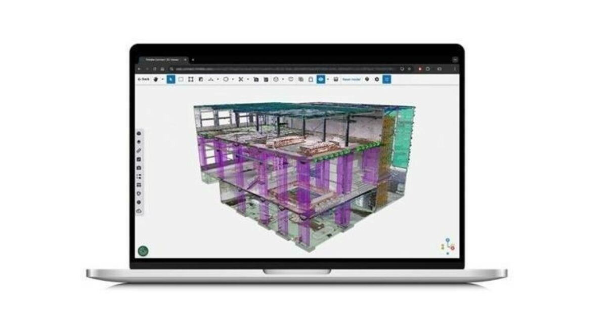
Reading Time: 2 minutes The Trimble Reality Capture platform service streamlines data management, visualization and collaboration Trimble announced its new Trimble Reality Capture platform service to enable more effective collaboration and the secure sharing of massive reality capture datasets captured with 3D laser scanning, mobile mapping and uncrewed aerial vehicle (UAV) systems. The service is available as an extension […]
EGNOS Safety of Life Service for Aviation SDD v3.6 Released: Enhancing Safety and Precision

Reading Time: < 1 minute The European Geostationary Navigation Overlay Service (EGNOS) has a new Safety of Life (SoL) Service for Aviation Service Definition Document (SDD), v3.6. The new EGNOS SoL Service for Aviation SDD introduces several updates designed to improve the precision, reliability, and safety of satellite navigation services in aviation. One of the standout features in SDD v3.6 […]