Golden Software Enhances Surfer Mapping and 3D Visualization Package with Map Templates and Online Image Access

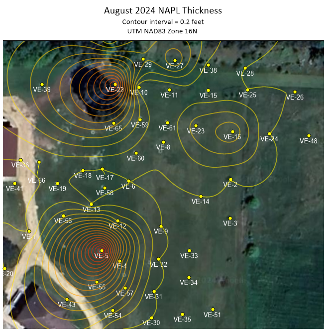
Reading Time: 4 minutes Golden, Colorado, 11 September 2024 – Golden Software has added significant time-saving features to the latest version of its Surfer® mapping and 3D visualization software. Users can now choose from more than 20 frame templates to quickly create their maps and project files. They can also easily download georeferenced aerial and satellite images from new […]
Draganfly Unveils New APEX Drone: The Next Evolution in Military and Law Enforcement Drone Systems
Reading Time: 2 minutes SASKATOON, Saskatchewan – Draganfly Inc. (NASDAQ: DPRO) (CSE: DPRO) (FSE: 3U8A) (“Draganfly” or the “Company”), an award-winning, industry-leading drone solutions and systems developer is proud to announce the launch of its newest product, the APEX Drone, designed specifically to meet the demanding needs of military and law enforcement surveillance operations. The APEX UAV is a direct […]
Trimble Connect broadens geospatial data capabilities

Reading Time: 2 minutes Trimble has launched the Trimble Reality Capture platform, a service aimed at streamlining collaboration and securely sharing large-scale reality capture datasets. Collected through 3D laser scanning, mobile mapping, and UAVs, these datasets are now more accessible across various industries. Integrated into Trimble Connect, a cloud-based platform supporting over 30 million users, this service strengthens Trimble’s […]
Frankfurt becomes annual host for Intergeo from 2028

Reading Time: 3 minutes Starting in 2028, Intergeo, currently sponsored by DVW (the German Association for Geodesy, Geoinformation, and Land Management), will be organized by Mesago Messe Frankfurt, taking over from the event’s long-time partner, Hinte Expo & Conference. DVW and Hinte will continue their successful collaboration through Intergeo 2027. Looking ahead, DVW and Mesago Messe Frankfurt aim to […]
NavVis MLX unlocks new capabilities in handheld scanning

Reading Time: 3 minutes NavVis, a company that has become a prominent player in reality capture and digital twin technology over the past decade, has introduced the NavVis MLX, a handheld dynamic laser scanning tool designed for professionals. This new device aims to set a new benchmark for data quality, portability, and user comfort, making it an ideal choice […]
Portuguese Air Force relies on Neuraspace to ensure space safety

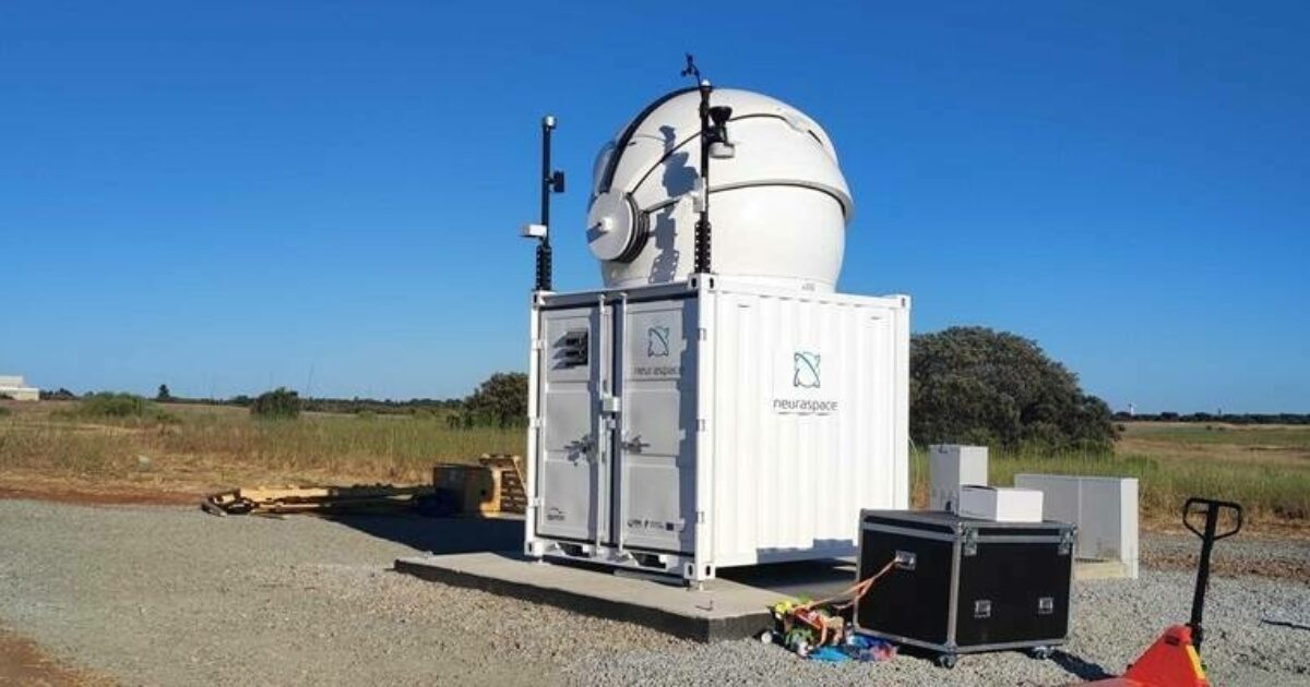
Reading Time: < 1 minute Neuraspace commences operation of its first optical telescope at Beja Air Force Base, Portugal Neuraspace and the Portuguese Air Force have announced their collaboration to enhance airspace safety and security as well as space sustainability. The partnership also marks the installation and use of Neuraspace’s first and fully operational optical telescope installed at Air Base […]
NavVis redefines handheld reality capture with the launch of NavVis MLX

Reading Time: < 1 minute NavVis announces the launch of NavVis MLX, the first professional handheld dynamic scanning system that combines ergonomic design with high data quality. NavVis, the global provider of reality capture and 3D reality capture-based digital twins, announced the launch of NavVis MLX, the first handheld dynamic laser scanning tool made for professionals. NavVis MLX sets a […]