NavVis Redefines Handheld Reality Capture with the Launch of NavVis MLX

Reading Time: 2 minutes NavVis announces the launch of NavVis MLX, the first professional handheld dynamic scanning system that combines ergonomic design with high data quality. Munich, Germany – September 10, 2024: Today, NavVis, the global leader in reality capture and 3D reality capture-based digital twins, is thrilled to announce the launch of NavVis MLX, the first handheld dynamic […]
New Reality Capture Platform Service Leverages Trimble Connect to Maximize the Value of Geospatial Data for Millions of Users
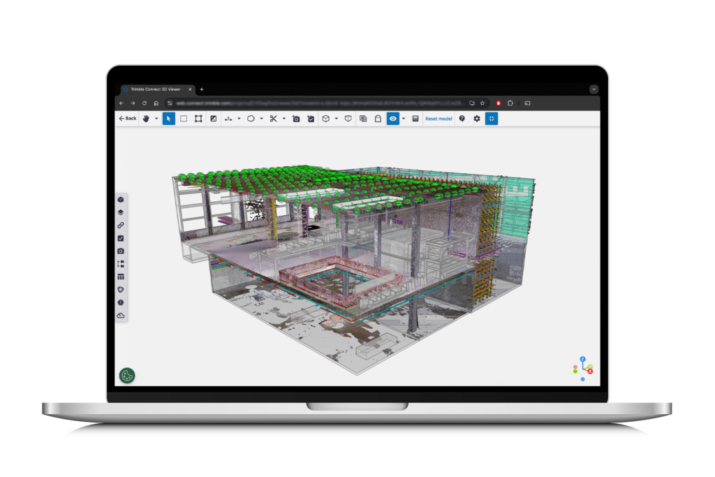
Reading Time: 3 minutes The Trimble Reality Capture platform service streamlines data management, visualization and collaboration Westminster, Colo., September 10, 2024 — Trimble (NASDAQ: TRMB) announced today its new Trimble® Reality Capture platform service to enable more effective collaboration and the secure sharing of massive reality capture datasets captured with 3D laser scanning, mobile mapping and uncrewed aerial vehicle (UAV) systems. […]
Esri Releases New Versions of Top-Selling Python Scripting for ArcGIS Pro Books
Reading Time: 2 minutes Second and Third Editions Now Available of Definitive Guides to Writing Python Code for ArcGIS Pro REDLANDS, Calif. — Esri, the global leader in location intelligence, today announced the publication of Python Scripting for ArcGIS Pro, Third edition, and Advanced Python Scripting for ArcGIS Pro, Second edition. Both books include helpful points to remember, key terms, and review questions at […]
ICEYE US Selected by NASA to Provide Radar Satellite Imagery in Support of Earth Science and Research

Reading Time: 2 minutes IRVINE, Calif.— ICEYE US, a leader in persistent Earth monitoring with radar satellite imaging, announced today that it has been selected by NASA to provide synthetic aperture radar (SAR) data for its Commercial Smallsat Data Acquisition (CSDA) Program through a 5-year fixed-price, indefinite-delivery/ indefinite-quantity (IDIQ), multiple-award contract. Since 2020, NASA’s CSDA program has been […]
ICEYE US Selected by NASA to Provide Radar Satellite Imagery in Support of Earth Science and Research

Reading Time: 2 minutes IRVINE, Calif. — ICEYE US, a leader in persistent Earth monitoring with radar satellite imaging, announced today that it has been selected by NASA to provide synthetic aperture radar (SAR) data for its Commercial Smallsat Data Acquisition (CSDA) Program through a 5-year fixed-price, indefinite-delivery/ indefinite-quantity (IDIQ), multiple-award contract. Since 2020, NASA’s CSDA program has […]
Teledyne Geospatial to unveil exciting product launches at INTERGEO 2024

Reading Time: < 1 minute Vaughan, Ontario, CANADA – September 10, 2024 — Teledyne Geospatial will display their robust portfolio of solutions for inspection, maritime, and mapping applications at INTERGEO 2024, Stuttgart, Germany, September 24-26, 2024. Visit Hall 1, Stand D1. 002 to learn how Teledyne’s integration of industry-leading hardware and software workflows results in unmatched comprehensive solutions for real-time […]
NavVis Redefines Handheld Reality Capture with the Launch of NavVis MLX

Reading Time: 3 minutes NavVis redefines handheld reality capture with the launch of NavVis MLX NavVis announces the launch of NavVis MLX, the first professional handheld dynamic scanning system that combines ergonomic design with high data quality. Munich, Germany – September 10, 2024: Today, NavVis, the global leader in reality capture and 3D reality capture-based digital twins, is thrilled […]
SimActive Used for Mapping in New Zealand
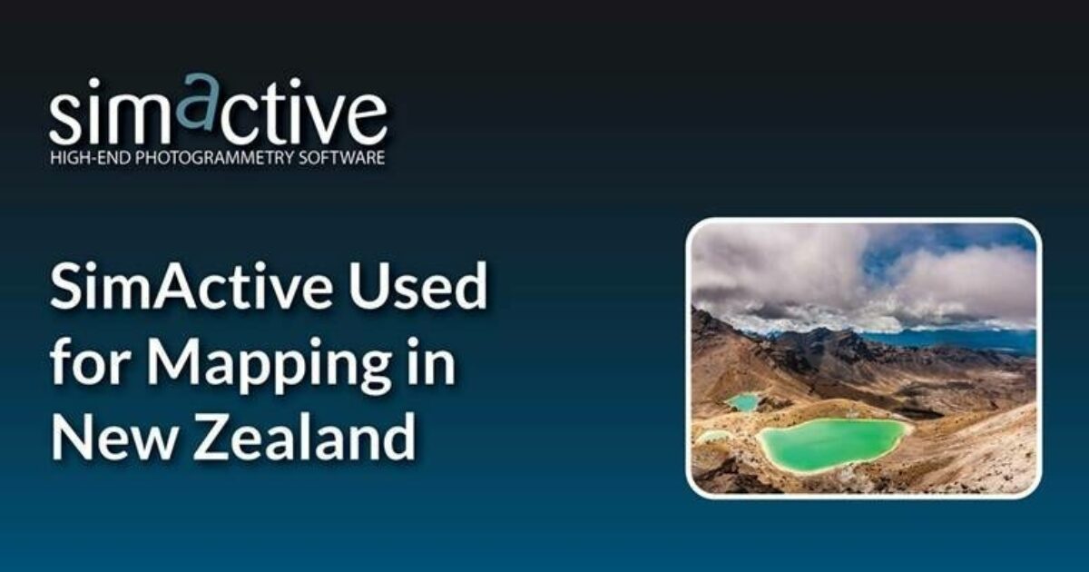
Reading Time: < 1 minute SimActive, a developer of photogrammetry software, announces the use of its Correlator3D product used by GMAPSNZ in New Zealand. The software allows for the creation of accurate map products in New Zealand’s challenging terrain and environment. GMAPSNZ has been processing drone-based imagery in New Zealand for the past 10 years. From agriculture to environmental assessment […]
Bentley Systems Acquires 3D Geospatial Company Cesium

Reading Time: < 1 minute Combination of Cesium plus iTwin offers developers the most comprehensive digital platform for the built and natural environment Bentley Systems, the infrastructure engineering software company, announced it has acquired 3D geospatial company Cesium. Cesium is recognized as the foundational open platform for creating powerful 3D geospatial applications, and its 3D Tiles open standard has been […]