Space Flight Laboratory Selected by NUVIEW to Develop Pathfinder Satellite Bus for Its Space-Based LiDAR Constellation

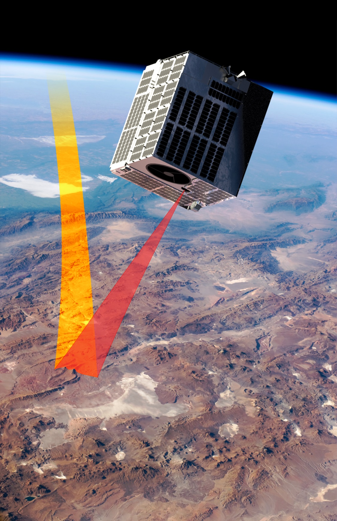
Reading Time: 2 minutes Toronto, Ontario, Canada, 4 September 2024 – Space Flight Laboratory (SFL) has been chosen by NUVIEW, a space-technology company specializing in 3D Earth imaging, to develop the bus for Mr. SPoC, its pathfinder small satellite that will demonstrate the capabilities of the world’s first commercial space-based LiDAR constellation. Artist rendering of the NUVIEW Pathfinder satellite. […]
Space Flight Laboratory (SFL) Selected by NUVIEW to Develop ..

Reading Time: 3 minutes Space Flight Laboratory (SFL) Selected by NUVIEW to Develop Pathfinder Satellite Bus for Its Space-Based LiDAR Constellation TORONTO, Ontario, Canada, 4 September 2024 – Space Flight Laboratory (SFL) has been chosen by NUVIEW, a space-technology company specializing in 3D Earth imaging, to develop the bus for Mr. SPoC, its pathfinder small satellite that will demonstrate the […]
WDH improves homes and neighbourhoods with web mapping

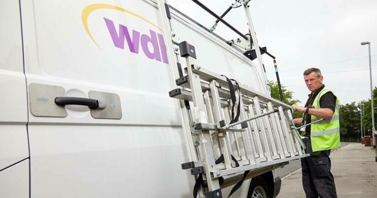
Reading Time: 1 minute An integral part of Wakefield and District Housing’s (WDH) ‘Vision to 2035’ is a £146 million investment in making its homes more energy efficient, ensuring housing stock exceeds safety and compliance standards, and that estates are more attractive and safer places to live. For WDH, investment is based on a whole dwelling, whole street and […]
Pix4D and Bad Elf collaborate to offer advanced 3D scanning for AEC professionals

Reading Time: < 1 minute Pix4D, a Swiss company and provider of drone and mobile smartphone mapping and photogrammetry solutions, announces that their smartphone scanning application PIX4Dcatch is now compatible with the Bad Elf Flex GNSS receiver. PIX4Dcatch is a user-friendly 3D scanning and AR visualization tool, used by Architecture, Engineering, and Construction (AEC) professionals worldwide. It is a comprehensive […]