Carlson Software Releases PhotoCapture Photogrammetry and Aerial Imagery Solution

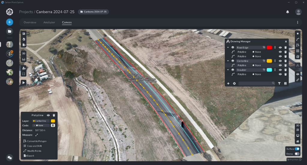
Reading Time: 2 minutes Maysville, Kentucky, USA (August 19, 2024)–Today Carlson Software has released its new version 2 of PhotoCapture, bringing advanced features and greater flexibility to aerial imaging professionals, surveyors, engineers, and anyone else processing highly accurate drone data. The new user interface in Carlson PhotoCapture V2. The new Photocapture Standalone Basic features a new windows-based foundation with […]
Artificial Intelligence Used to Identify Methane Emissions

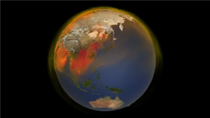
Reading Time: < 1 minute Geolabe—a prize winner in the 2023 Entrepreneurs Challenge—developed a way to use artificial intelligence to identify global methane emissions. Methane is a greenhouse gas that significantly contributes to global warming, and this promising new technology could provide data to help decision makers develop strategies to mitigate climate change. The Geolabe team developed a deep learning […]
AI-powered Phisat-2 launched by Open Cosmos and ESA

Reading Time: 2 minutes Phisat-2 (Φsat2), a 6U CubeSat designed to demonstrate the transformative capabilities of in-orbit artificial intelligence (AI) for Earth observation, has been launched successfully from Vandenberg Space Force Base in California, USA. SpaceX’s Falcon 9 rocket delivered Phisat-2 into space as part of the Transporter-11 mission, marking a significant milestone for Open Cosmos. As a 6U […]
Space Flight Laboratory (SFL) Confirms Successful Deployment of HawkEye 360 Microsatellite Cluster 10

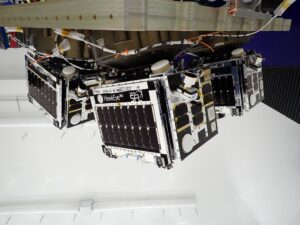
Reading Time: 3 minutes Developed in SFL Flex Production Program TORONTO, Ontario, Canada – Space Flight Laboratory (SFL) confirmed that HawkEye 360 Cluster 10 has been successfully launched and deployed in orbit. Cluster 10 brings to 30 the total number of radio frequency geolocation microsatellites developed for HawkEye 360 by SFL and is the third Cluster integrated at […]