UK Government awards Bluesky exclusive aerial photography contract

Reading Time: 2 minutesBluesky International has secured a multi-million-pound contract from the Government’s Geospatial Commission to provide aerial photography services to public sector organizations across Great Britain. This contract, known as Aerial Photography for Great Britain (APGB), also includes the supply of 3D height models and color infrared data. Valued at over £15 million, the contract spans three […]
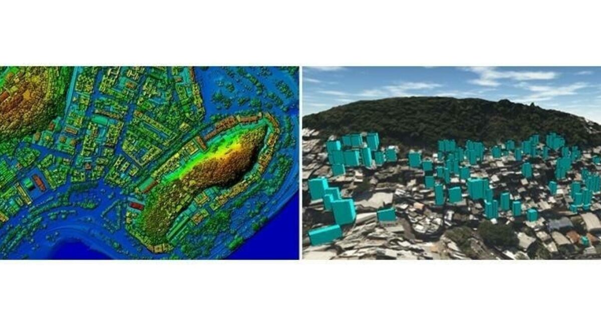
Topocart maps Brazil’s expanding cities using Teledyne Galaxy PRIME+

Reading Time: 2 minutesTeledyne Geospatial announced that Topocart, a Brazilian company with over three decades of experience in high-precision mapping, has acquired a Teledyne Galaxy PRIME+ lidar system. This cutting-edge technology will enhance Topocart’s ability to map large urban and rural areas with high-density precision. The Galaxy PRIME+ lidar system, recognized for its superior productivity compared to conventional […]
Bluesky named sole supplier of aerial photography to UK Government

Reading Time: < 1 minuteThe Government’s Geospatial Commission has awarded Bluesky International a multi-million-pound contract to supply aerial photography to public sector organisations across Great Britain. The contract, which also includes the provision of 3D height models and colour infrared, runs for 3 years (with an option to extend for a further 2 years) and is worth more than […]