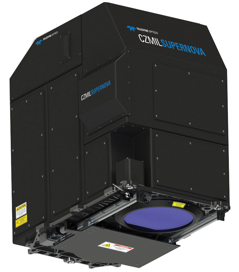
Dewberry Acquires Second CZMIL SuperNova Sensor

Reading Time: 2 minutesAdditional sensor provides opportunities for exploration of nearshore coastal and riverine environments. Fairfax, VA—July 24, 2024 – Dewberry, a privately held professional services firm, has announced that the geospatial and technology services (GTS) group has purchased its second Teledyne Coastal Zone Mapping and Imaging Lidar (CZMIL) SuperNova sensor to acquire topographic and bathymetric data in […]
Hexagon announces refresh of high-resolution aerial data for 14 U.S. states

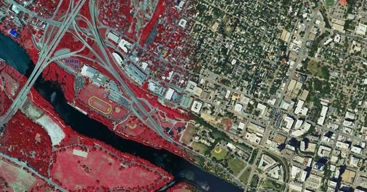
Reading Time: < 1 minuteHexagon”s Geosystems division announced that the Hexagon Content Program will update aerial data of 14 U.S. states for the 2024 collection season. The refresh will encompass approximately 1,213,826 square miles (3,143,794 square kilometers) of high-resolution aerial data, including four-band orthoimagery, 3D point clouds and stereo imagery. The acquisition includes statewide aerial data of Texas, California, […]
STRYDE is celebrating multiple contract wins for its seismic data processing solutions

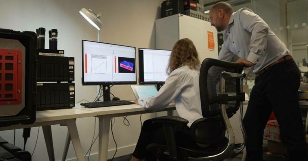
Reading Time: < 1 minuteThe onshore seismic data experts have secured a total of 11 new contracts since July 2023, delivering subsurface insights to companies in the geothermal, CCUS, oil and gas, mining, and water exploration sectors, in record time. These new contracts have seen STRYDE providing both its conventional, and in-field processing services for 2D and 3D seismic […]