VeriDaaS Corporation and Tarin Resource Services ..

Reading Time: 2 minutesVeriDaaS Corporation and Tarin Resource Services Join Forces to Revolutionize Geospatial Data Solutions Denver, Colorado – July 17, 2023 – VeriDaaS Corporation, a leading provider of high-quality geospatial data, and Tarin Resource Services, a prominent name in the Canadian geospatial industry, are thrilled to announce their strategic partnership. Under this new agreement, Tarin Resource Services has become […]
GeoCue Unveils Three New, High-End LiDAR ..

Reading Time: 2 minutesGeoCue Unveils Three New, High-End LiDAR, TrueView 3D Imaging Systems These new survey-grade systems provide highspeed data acquisition for superior aerial mapping and surveying For Release: July 19, 2023 Huntsville, AL- GeoCue, a global leader in geospatial solutions for LiDAR mapping hardware & software, announces the release of three new, high-end TrueView 3D Imaging Systems. […]
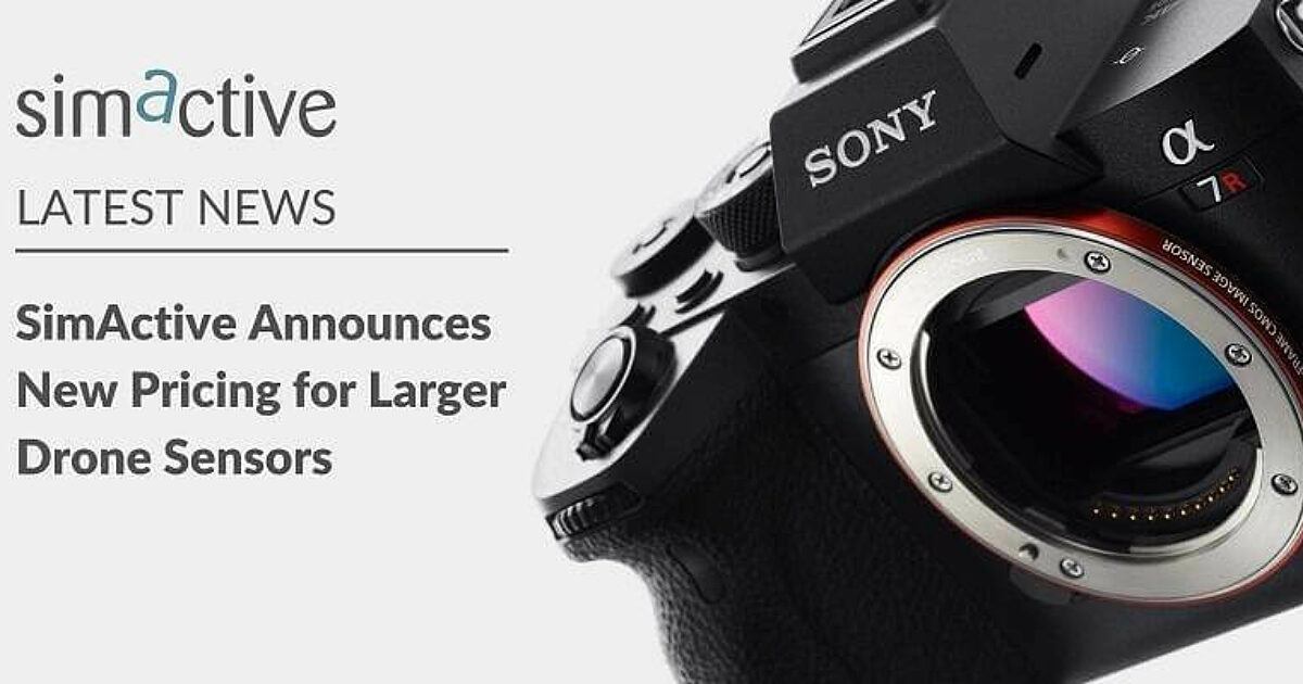
SimActive Announces New Pricing for Larger Drone Cameras

Reading Time: < 1 minuteSimActive, a developer of photogrammetry software, announces new pricing for its Correlator3D software. Larger drone cameras of up to 61 megapixels are now covered under the low-priced UAV license option, which was previously capped at 50MP. The new pricing addresses the rising demand for bigger drone sensors, such as the Sony A7R IV. Originally developed […]
Globalstar and Owaka safeguard 15,000 participants in record year for adventure and extreme sports events
Reading Time: 3 minutesGlobalstar Europe Satellite Services, a wholly owned subsidiary of Globalstar, announced that Owaka, a specialist Globalstar solutions partner, has had a record-breaking 12 months. Organisers of extreme sporting competitions, amateur cross-country events, and rallies for motoring enthusiasts increasingly chose tracking specialist Owaka to provide its proven all-in monitoring, communication and emergency support systems. In the […]
GeoCue Unveils Three New, High-End LiDAR, TrueView 3D Imaging Systems

Reading Time: 2 minutesThese new survey-grade systems provide highspeed data acquisition for superior aerial mapping and surveying Huntsville, AL – July 19, 2023 – GeoCue, a global leader in geospatial solutions for LiDAR mapping hardware & software, announces the release of three new, high-end TrueView 3D Imaging Systems. With unmatched precision and advanced capabilities, the all-new TV625, TV680, […]