Advanced Navigation Expands Boreas Digital Fiber-Optic Gyroscope Range with New A Series

Reading Time: 4 minutesUSA, July 2023 – Advanced Navigation, the world’s most determined innovator in artificial intelligence for robotic and navigation technologies has announced the expansion of its revolutionary Boreas digital fiber-optic gyroscope (DFOG) range, with the new A Series. The Boreas A90 and A70 are strategic-grade inertial measurement units (IMU) that deliver acceleration and orientation with superior […]
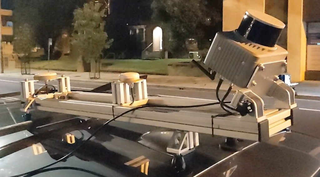
Mobile Laser Scanning Can Be Easy

Reading Time: < 1 minuteQuick to mount, simple to operate, then drag and drop to produce high density, high accuracy georeferenced pointclouds. The Klau Geomatics Brumby MLS LiDAR scanner, on an aircraft or land vehicle, removes the traditional pain points to capture and process LiDAR. Trajectory is processed onboard, on the fly, with coordinate systems and precise geoids applied. […]
Building a green supply chain for a sustainable future with the Supply Chain Data Partnership

Reading Time: 2 minutesWith globally interconnected supply chains historically being hard to track and trace, Ordnance Survey (OS) is working in collaboration with Esri UK, Deloitte and Planet Labs PBC, with support from Trase, to establish the Supply Chain Data Partnership (SCDP). The SCDP will seek to provide a location dataset for global supply chains such as palm […]
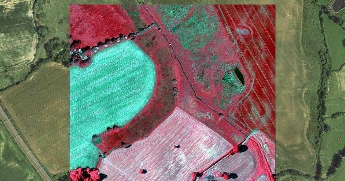
Bluesky’s Airborne Sensors Help Developers Protect Wildlife Habitats

Reading Time: 2 minutesMulti-spectral imagery from Bluesky International is helping developers contribute to government targets to protect and conserve wildlife habitats in the UK. Using the latest Artificial Intelligence (AI) technology, in combination with Bluesky’s four band aerial photography, technology company Gentian has created computerised workflows that recognise and separate different habitat types remotely and autonomously in a […]
Geospatial intelligence drives the future of GIS

Reading Time: 3 minutesNews Looking back on a successful 2023 Geospatial Information Software Technology Conference July 12, 2023 With the theme of ‘Geospatial Intelligence, Elevated by Integration’, the 2023 Geospatial Information Software Technology Conference commenced at the China National Convention Center in Beijing on 27 June. Government leaders and academics from China, along with experts and business representatives […]