Automatic Emergency Braking .. – LiDAR News

Reading Time: 3 minutes Cepton Inc. (NASDAQ: CPTN) Advances Lidar Solutions Enabling Automatic Emergency Braking, NHTSA Pushes for New Rules Automatic Emergency Braking (“AEB”) uses sensors to monitor and detect obstacles and apply the brakes to either prevent the collision or reduce impact severity The Insurance Institute for Highway Safety (“IIHS”) conducted a study revealing that AEB with pedestrian […]
‘First-of-its-kind’ mobile 3D mapping system will scan 2 million data points a second

Reading Time: 2 minutes The University of Bradford (UK) has taken delivery of the UK’s first Leica TRK700 Evo – a vehicle-mounted mobile mapping system capable of capturing two million data points every second to a resolution of 1mm. The state-of-the-art device will be used to expand Virtual Bradford, the digital twin of the city, which initially covered 1.5 […]
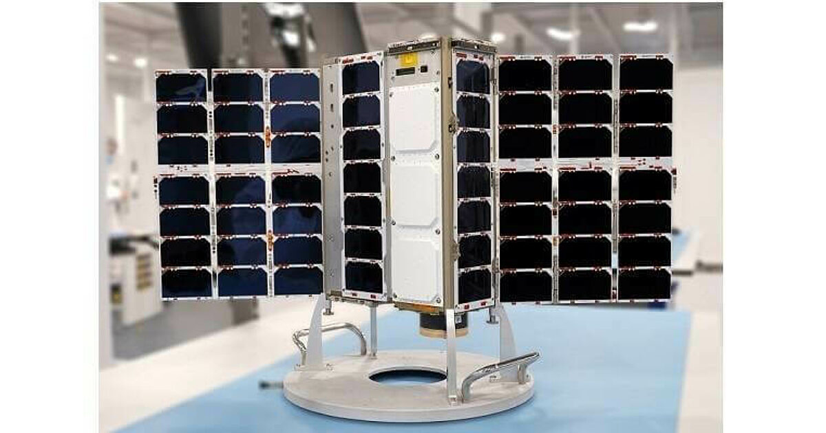
OroraTech Selects Spire Global to Provide Eight Satellites for Wildfire Monitoring Constellation

Reading Time: < 1 minute Spire Global, a global provider of space-based data, analytics and space services, has signed an agreement with OroraTech, the global leader in space-based thermal intelligence, to build, launch and operate an eight-satellite constellation dedicated to global temperature monitoring. Once operational, it will represent the first and largest constellation of satellites dedicated to tracking and monitoring […]