Cartomorphosis – A Four Generation Surveying Evolution

Reading Time: 3 minutesCartomorphosis – A Four Generation Surveying Evolution When I was just six years old, my grandfather would take me as a camera operator on his photogrammetric plane. In the early 80’s without FMS (flight management system) nor airborne GPS, aerial photography required special skills. The results could not be verified until the film was processed. These […]
ComNav partner conference sets stage for future ventures

Reading Time: 2 minutesFrom 5-9 June, ComNav Technology’s (ComNav) Annual Partner Conference 2023 took place in Shanghai, China. Thirty global distributors from the UK, Japan, Australia, Guyana, Uganda, and other countries gathered to gain a comprehensive understanding of ComNav’s global business development strategy, R&D achievements, and product planning. The conference aimed to foster consensus, deepen cooperation, and seek […]
Students discover careers through heritage surveying competition

Reading Time: 2 minutesAmidst the peak of this year’s cherry blossom bloom in Washington, D.C., numerous groups of students assembled on the National Mall to conduct surveys of the surrounding area. Among them, a particular team stood out due to their distinctive attire. Clad in white colonial wigs, wool vests, caps, and sport jackets reminiscent of the 1910s, […]
DLR opens large-scale Earth observation data computing facility

Reading Time: 2 minutesThe German Aerospace Center (DLR) and the Leibniz Supercomputing Centre (LRZ) of the Bavarian Academy of Sciences and Humanities have commenced operations with ‘terrabyte’ – one of Europe’s largest scientific platforms for analysing Earth observation data. For the first time, the platform enables researchers to efficiently analyse global data sets from Earth observation satellites at […]
Phase One Opens new calibration lab in Denver

Reading Time: 2 minutesPhase One, a pioneering provider of professional aerial cameras, has inaugurated a calibration lab and geospatial center of excellence in Denver, Colorado. The new facility in the United States has been specifically designed to accelerate precise calibration of cameras across the entire range of Phase One aerial lenses. This dedicated facility allows customers to renew […]
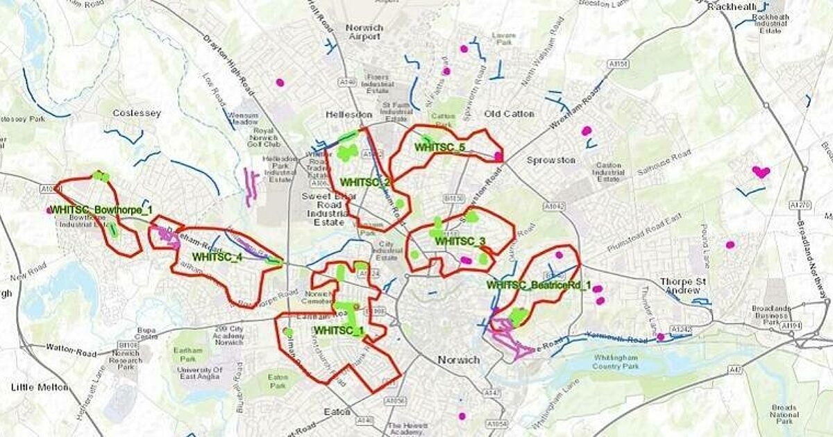
Anglian Water reduces flooding and pollution incidents with real-time picture of risk

Reading Time: 2 minutesAnglian Water has created a real-time picture of sewer risk, which is helping drive proactive interventions to reduce sewer blockages, flooding and pollution incidents. The new mapping system reveals hotspots to prioritise where work is needed across the network to improve network performance and protect the environment. Developed using geospatial technology from Esri UK, benefits […]
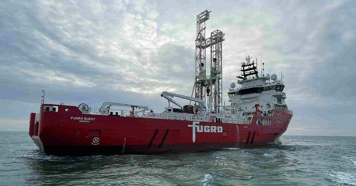
Fugro to use new technology in site investigation for French DGEC and RTE Sud-Atlantique wind farms

Reading Time: < 1 minuteThe Directorate General of Energy and Climate (DGEC) from the French Ministry of Energy Transition and RTE (Réseau de Transport d’Electricité) have awarded Fugro a ground investigation campaign to support the development of future wind farms in the Sud-Atlantique zone of the Bay of Biscay. The Geo-data acquired during the investigation will be used by […]
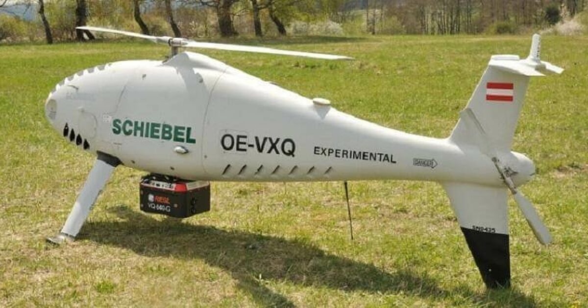
Successful Integration of the RIEGL VQ-840-G Topo-Bathymetric Laser Scanner into the Schiebel CAMCOPTER S-100 UAS

Reading Time: 2 minutesRIEGL Laser Measurement Systems GmbH and SCHIEBEL have successfully completed the integration of a high-end laser scanning system, the RIEGL VQ-840-G topo-bathymetric LiDAR sensor, on the Schiebel CAMCOPTER S-100 Unmanned Air System (UAS). Operating a high-end laser scanning system remotely on an Unmanned Air Vehicle (UAV) requires a tailored solution going beyond what is currently […]