Geoslam -Georeferencing takes center stage for ..

Reading Time: 3 minutesGeoreferencing takes center stage for GeoSLAMs latest software release Enhancements to georeferencing workflows have become the main focal point of GeoSLAMs latest software release, Connect 2.3. The release includes improvements to the Stop and Go Georeferencing workflow, as well as new ways to automatically georeference and align UAV data. The developments come as part of […]
Younger Geospatial Professional of the Year Award ..

Reading Time: 2 minutesYounger Geospatial Professional of the Year Award 2023February 27, 2023Rebecca Lehman was the recipient of the Younger Geospatial Professional of the Year award at the recent Geo Week 2023 conference in Denver, CO. There were a number of excellent submissions making the judging a real challenge. Lidar News and Geo Week want to thank all […]
Subsurface Information Modeling Using LiDAR

Reading Time: 5 minutesBuilding on SUE, SUM, and BIM to Advance Underground Stewardship. For some reason, utility contractors over the years did not take the time to record subsurface information at the needed level of detail.by Mike TwohigThe use of Subsurface Utility Mapping (SUE) dates back to the early 1980s. In 1991, SUE gained an official endorsement from […]
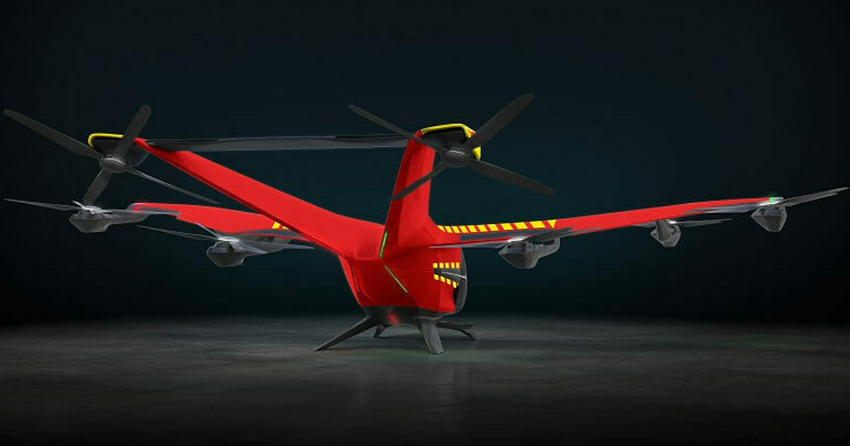
Airbus and Norwegian Air Ambulance Foundation to develop CityAirbus NextGen’s future medical missions in Norway

Reading Time: < 1 minuteAirbus Helicopters has partnered with the Norwegian Air Ambulance Foundation to develop CityAirbus NextGen’s future missions for medical services in Norway. To this end, the parties will jointly measure the added value of electric vertical take-off and landing (eVTOL) aircraft for a selection of medical services use cases across the country to integrate the operational […]
Estonian drone ecosystem takes first steps towards implementation of U-space

Reading Time: < 1 minuteEANS has been working with Frequentis to create an environment where drones and civil aviation can coexist in the shared airspace. The drone market is already growing rapidly and unmanned aerial vehicles (UAV) are used for everyday activities. This requires user- system for both manned and unmanned traffic and all this with flight safety in […]
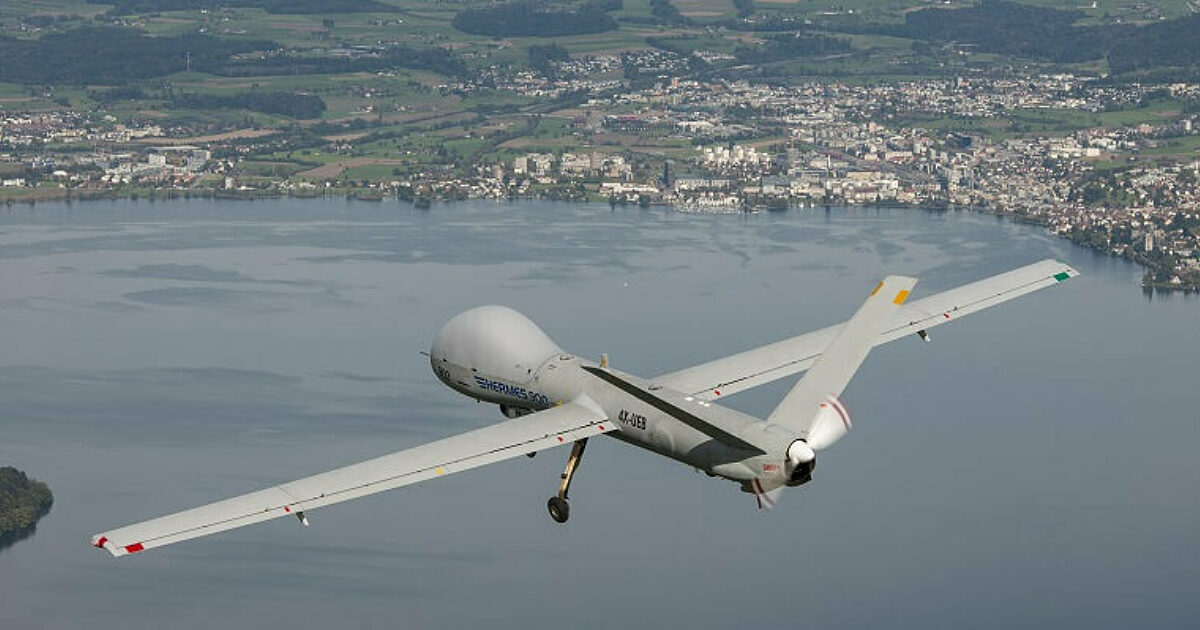
Elbit Systems to Showcase Platforms at DSEI Japan 2023

Reading Time: 2 minutesElbit Systems will participate at DSEI Japan between 15-17 March 2023 in Tokyo and exhibit a wide range of products and systems at its booth with both visual and interactive displays. Elbit Systems is known for its groundbreaking solutions that have led to dramatic changes on the battlefield. The company is a leader in unmanned […]
Angola partners with Airbus to build advanced Earth observation satellite

Reading Time: < 1 minuteAirbus Defence and Space will manufacture Angeo-1, Angola’s first very high-performance Earth observation satellite, in France. This agreement marks a significant step towards strengthening the collaboration between the two countries, with Airbus acting as Angola’s strategic partner for space. According to Jean-Marc Nasr, head of space systems at Airbus, Angeo-1 will be a latest-generation Earth […]
Concordia researchers develop new technique for creating precise 3D models

Reading Time: 2 minutesConcordia University researchers have developed a faster and more accurate technique for creating highly detailed 3D models of large-scale landscapes. With this technique, digital replicas of real-world environments can be created down to the pixel level, making it easier for people to explore and navigate various areas. This innovation makes creating digital twins of the […]