EDF improves collaboration at Hinkley Point C with GIS portal

Reading Time: 3 minutesEDF has used enterprise GIS from Esri UK to create a geospatial portal for Hinkley Point C (HPC) nuclear power station, one of Europe’s largest and most complex construction projects. Supporting better collaboration and enabling new digital workflows, the portal is sharing a single view of the entire project, helping employees and contractors work seamlessly […]
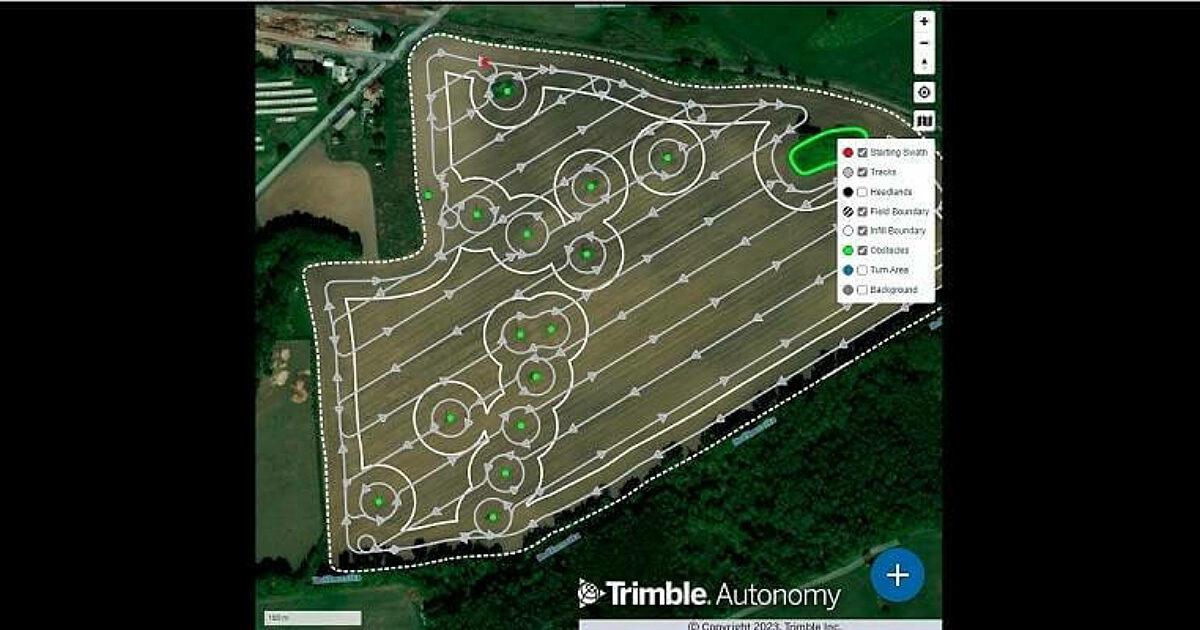
Trimble Announces Advanced Path Planning Technology

Reading Time: 2 minutesTrimble announced its new advanced path planning technology. This software-based technology gives Trimble end users and equipment manufacturers the ability to optimize and automate the trajectory, speed and overall path design of industrial equipment to increase efficiency of work. Manufacturers worldwide can now provide their customers with an easy-to-integrate, automated solution that works not only […]
NASH Maritime’s Technology Team expands with the appointment of John Guercio

Reading Time: < 1 minuteNASH Maritime, a specialist in shipping, navigation and maritime risk, has recently appointed John Guercio to help develop, build, and deliver their marine technology offer. John, a US Navy veteran, has more than 25 years of experience in marine electronics including field support, technical specification, systems integration design, installation, commissioning, and acceptance trials. He has […]